Road Trip Guide: Conquering Indiana Pass in Colorado
Indiana Pass is a high mountain pass at an elevation of 3,645m (11,958ft) above sea level, located in Rio Grande County, in the US state of Colorado. It’s one of the highest roads in Colorado.
Where is Indiana Pass?
The pass is located north of Jasper in the southern part of Colorado, within the Rio Grande National Forest.
Is the road to Indiana Pass unpaved?
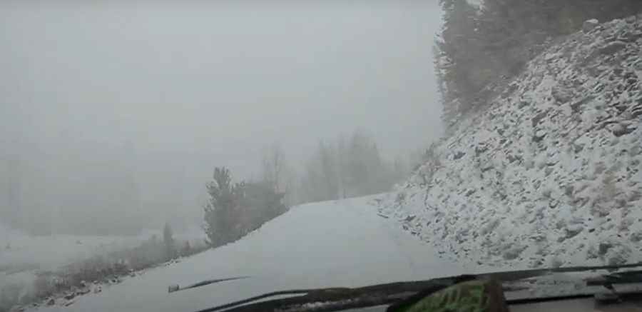
The road to the summit is totally unpaved. It is a two-lane graded road, called Summitville Road. It has steep parts. A high-clearance 4x4 vehicle is recommended, but the road may be accessible by a 2x4 vehicle.
Is the road to Indiana Pass open in winter?
At this elevation, the road through the pass is typically limited to the summer season. The site is not drivable until snow drifts melt off the access road, so visitors should not attempt to go here until at least mid-July at the earliest.
How long is the road through Indiana Pass?
The road through the pass is 12.55km (7.8 miles) long, running north-south from Forest Service 332 Road to Summitville mine. The journey offers superb views through thousands of colored aspens, bringing you higher and higher. A minor gravel road northwest of the pass climbs up to Grayback Mountain, at an elevation of 3,853m (12,641ft) above sea level.
Pic&video: S. Anthony Goralczyk