A memorable road trip to Potosi Pass in NV
Potosi Pass is a high mountain pass at an elevation of 1.905m (6,250ft) above the sea level, located in Clark County, in the U.S. state of Nevada.
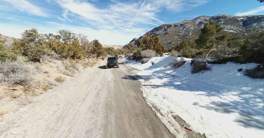
Nestled in the Spring Mountains southwest of Las Vegas, the road to the summit is totally unpaved running through desert vegetation and some cliff walls. It’s called Mount Potosi Canyon Road. Cellphone services are not available most of the time so come prepared.
The road can be accessed year round but may be closed for short periods in winter when the weather is bad. The road is packed dirt and suitable for 2WD vehicles but inquire locally or use a 4WD vehicle just to be sure. This area also has a history of mining from the Mormons in the 1850s. Always check the weather forecast before you start your journey: adverse conditions are common.
The road to the summit is pretty steep. Starting from the paved NV-160, the ascent is 4.18km (2.6 miles) long. Over this distance the elevation gain is 357 meters. The average gradient is 8.54%.
Pic: BMP 51