The Ultimate Guide to Traveling the Gass Peak Road in Nevada
Gass Peak Road is a very scenic drive located in Clark County, in the US state of Nevada.
Where is the Gass Peak Road?
The road is located in the southern part of Nevada, within the Desert National Wildlife Refuge.
Is the Gass Peak Road unpaved?
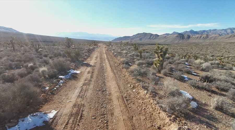
The road is totally unpaved. It’s a bumpy dirt road suitable for cars but inquire locally or use a 4WD vehicle just to be sure.
How long is the Gass Peak Road?
The road is 34.76km (21.6 miles) long, running north-south from Mormon Well Road to Clark County Road 215, north of Las Vegas.
Is the Gass Peak Road worth the drive?
The drive provides great views of desert scenery and mountain landscapes. It leads to an underground cave to explore and wildlife to be seen while driving.
Is the Gass Peak Road open year-round?
Set high in Las Vegas Range (north of Gass Peak) the road tops out at 1.509m (4,950ft) above sea level. It can be accessed year-round.
Pic: BMP 51