The road to Mount Pilchuck in Washington isn’t an easy one
Mount Pilchuck is a mountain peak located in Snohomish County, in the U.S. state of Washington. A graveled road leads to the Mount Pilchuck Trailhead parking area, at an elevation of 964m (3,162ft) above sea level.
Where is Mount Pilchuck?
The road is located south of Verlot, in the northwestern part of Washington, within the Mount Pilchuck State Park, in the Mount Baker-Snoqualmie National Forest. At the end of the road there is a large parking lot (probably enough for about 200 cars), an outhouse toilet, and the Mount Pilchuck trailhead.
How long is the road to Mount Pilchuck?
The road to the Mount Pilchuck Trailhead parking area is called Forest Road 42 (Mount Pilchuck Access Road). It’s 11.10km (6.9 miles) long.
Is the road to Mount Pilchuck paved?
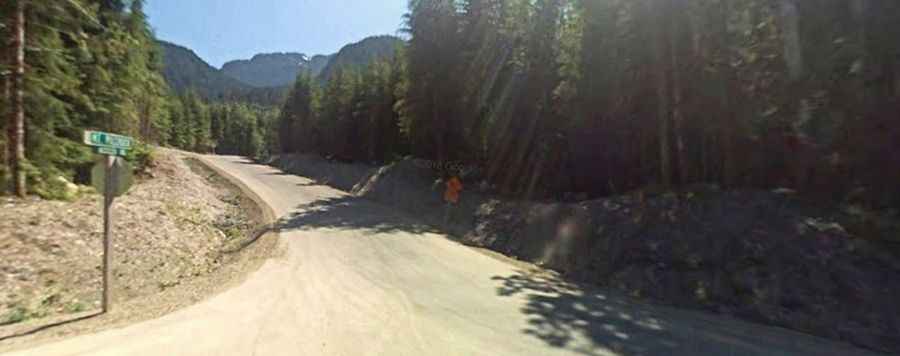
It’s a (barely) two-way road mostly unpaved. The first 4.7 miles are very rough gravel, requiring slow and patient driving. The last 1.9 miles are paved.
Is the road to Mount Pilchuck difficult?
The graveled road is pretty challenging. It’s rough and filled with deep potholes that span the entire road so you cannot avoid them and are forced to drive straight through.
Can I drive my vehicle to Mount Pilchuck?
Set high on the western edge of the Washington's North Cascades, the road is accessible by most passenger vehicles but a high-clearance vehicle is recommended to better take on the potholes.
How long is the road to Mount Pilchuck?
Starting from the paved Mountain Loop Highway, the ascent is 11.10km (6.9 miles) long. Over this distance the elevation gain is 652 meters. The average gradient is 5.87%.