Travel guide to the top of Fredonyer Peak in California
Fredonyer Peak is a high mountain peak at an elevation of 2.423m (7,949ft) above the sea level, located in Lassen County, in the northeastern portion of the U.S. state of California.
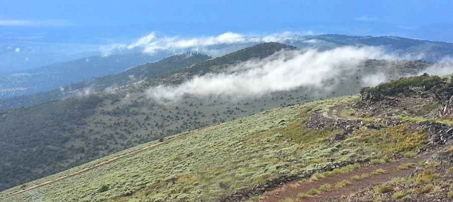
Located in Lassen National Forest, the road to the summit is a good forest road. 4x4 vehicle required. The road is seasonally closed during winter. It is not generally snow-free until late June or even July in some years. The summit hosts a lookout tower. It is usually staffed during the fire season by CalFire. The summit offers great views of Eagle Lake, Mt Shasta, Mt Lassen and views of the High Desert to the east.
The road is pretty steep. Starting from the paved CA-139, the road to the summit is 15.12km (9.4 miles) long. Over this distance the elevation gain is 747 meters. The average gradient is 4.94%.
Pic: William Johnson