A chairlift access road to June Mountain in California
June Mountain is a high mountain peak at an elevation of 3.092m (10,144ft) above sea level, located in Mono County, in the U.S. state of California. It’s one of the highest roads of California.
Where is June Mountain?
The peak is located in the east central portion of California, within the Inyo National Forest.
Is the road to June Mountain unpaved?
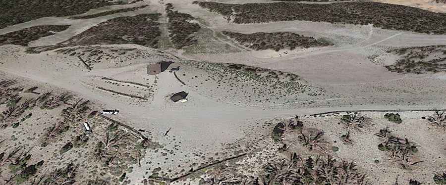
The road to the summit is totally unpaved. It’s a chairlift access road for the June Mountain Ski Area. 4x4 vehicles only. It features narrow and steep sections.
How long is the road to June Mountain?
Starting at the paved CA-158, the road to the summit is 6.2 km long. Over this distance, the elevation gain is 747m and the average gradient is 12.04%.
Is the road to June Mountain open year-round?
Set high in the Sierra Nevada, the peak receives heavy snowfalls and the road is impassable from October through June.
How to drive the unpaved chairlift access road to Rainbow Summit in California?
North of the summit, the road leads to Rainbow Summit, a high mountain peak at an elevation of 3.046m (9,993ft) above sea level.