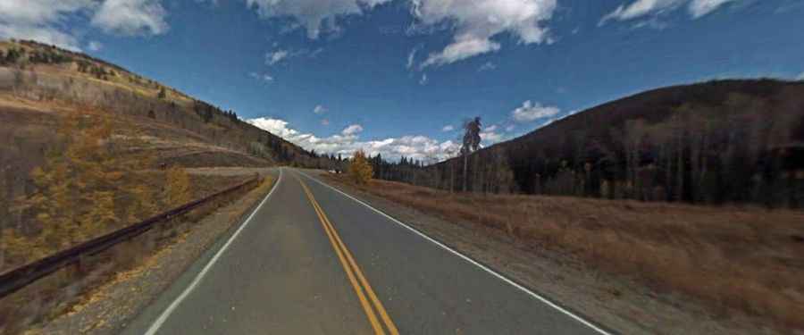
A paved mountain road to Ute Pass in Grand County
Ute Pass is a high mountain pass at an elevation of 2.924m (9,593ft) above sea level, located in Grand County, in the U.S. state of Colorado.
Where is Ute Pass?
The pass is located in the northern part of Colorado, within the White River National Forest. There’s a big parking lot at the summit.
Is Ute Pass paved?
The road to the summit is fully paved. It’s called Ute Pass Road (County Road 3). The drive is steep, hitting an 8.0% through some of the ramps. It provides great views of true Rocky Mountain wilderness, the Gore Range and Eagle’s Nest Wilderness Area.
How long is Ute Pass?
The road is 43.61km (27.1 miles) long, running south-north from CO-9 to Parshall on US-40. Keep an eye out for wildlife, too—bear, moose, and other local wildlife can often be spotted from this drive.
Is Ute Pass open in winters?
Set high in the Gore Range of the Rocky Mountains, the road can be accessed year-round but may be closed for short periods in winter when the weather is bad.