Ultimate 4wd destination: Negrito Mountain
Negrito Mountain is a high mountain peak at an elevation of 2.620m (8,595ft) above sea level, located in Catron County, in the U.S. state of New Mexico.
Where is Negrito Mountain?
The peak is located east of Alma, in the southwestern part of New Mexico, in the heart of the Gila National Forest.
Why is there a road to Negrito Mountain?
The peak is topped by a lookout tower. Built in 1934, it was extensively remodeled in 1984. It is not currently staffed.
Is the road to Negrito Mountain unpaved?
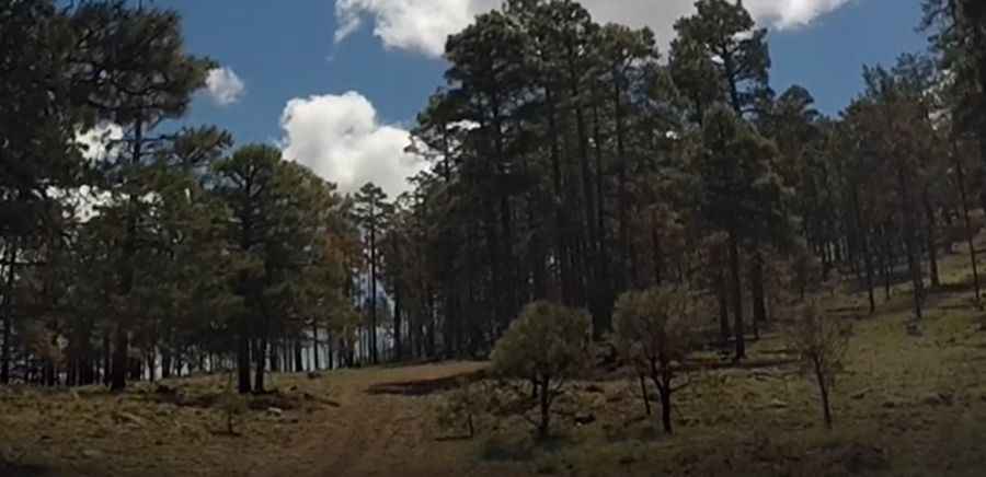
The road to the summit is totally unpaved. It’s called Forest Road 512. A 4x4 vehicle is recommended.
How long is the road to Negrito Mountain?
The road to the summit is pretty steep. Starting from Bursum Road, the ascent is 1.44km (0.9 mile) long. Over this distance the elevation gain is 69 meters. The average gradient is 4.79%.
Pic&video: Laud M