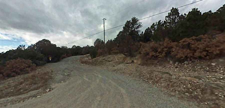
A dusty rocky road to Cedro Peak in New Mexico
Cedro Peak is a high mountain peak at an elevation of 2.371m (7,778ft) above sea level, located in Bernalillo County, in the U.S. state of New Mexico.
Where is Cedro Peak?
The peak is located east of Albuquerque, in the central part of New Mexico, within the Cibola National Forest.
Why is there a road to Cedro Peak?
Set high in the Manzanita Mountains, the summit hosts numerous communication towers.
Is the road to Cedro Peak unpaved?
The rough and dusty road to the summit is very rocky, unpassable without four-wheel-drive. It’s called Cedro Peak Road (Forest Road 542). Sections of this trail are quite difficult and require high clearance to get over significant rock obstacles. The trail is highly recommended, but come prepared. It’s a pretty steep drive.
How long is the road to Cedro Peak?
Starting from Juan Tomas Road, the toad to the summit is 4.82km (3.0 miles) long. Over this distance the elevation gain is 233 meters. The average gradient is 4.83%.
Tips for driving to Cedro Peak
-Avoid driving this route immediately after rain, as it becomes extremely muddy.
-Due to the challenging conditions, traveling alone is discouraged; always bring a companion and recovery gear to get unstuck.