How to drive the bumpy road to Cerro Pelado in New Mexico
Cerro Pelado is a high mountain peak at an elevation of 3.085m (10,121ft) above sea level, located in Sandoval County, in the US state of New Mexico. It’s one of the highest roads of New Mexico.
Where is Cerro Pelado?
The peak (Naked Hill), is located in the northern part of New Mexico, within the Santa Fe National Forest.
Why is there a road to Cerro Pelado?
The summit hosts the Cerro Pelado Fire Lookout, built in 1913. During fire season the tower is manned and provides great panoramic views of the area.
Is the road to Cerro Pelado unpaved?
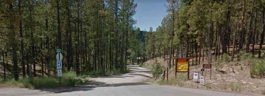
The road to the summit is totally unpaved. It’s in reasonably good shape, used regularly by the Forest Service and cell tower maintainers, though the last bit gets steeper and rockier. 4x4 vehicle required.
How long is the road to Cerro Pelado?
Starting from the paved NM-4, the ascent is 19.31km (12 miles) long. Over this distance the elevation gain is 595 meters. The average gradient is 3.08%.
Is the road to Cerro Pelado open year-round?
Set high in the Jemez Mountains, the road is not plowed in winters.
Pic: Danny springtrap