Road trip guide: Conquering McFadden Peak
McFadden Peak is a high mountain peak at an elevation of 2.177m (7,142ft) above sea level, located in Gila County, in the central part of the U.S. state of Arizona.
Where is McFadden Peak?
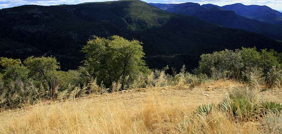
The peak is located in the central part of Arizona within the Tonto National Forest.
Why is it called McFadden Peak?
This peak was named after William McFadden.
Why is there a road to McFadden Peak?
Set high in the Sierra Ancha, the summit hosts a lookout tower built in 1964. The lookout is staffed each year. The summit It offers continuous views of the surrounding areas.
Is the road to McFadden Peak unpaved?
The old forest service road to the summit is totally unpaved. It’s called McFadden Peck Road/Forest Road (FR) 561.
How long is the road to McFadden Peak?
Starting from Globe-Young Highway, the ascent is 2.09km (1.3 miles) long. Over this distance the elevation gain is 241 meters. The average gradient is 11.53%.
Pic: DS Anderson