Baxter Peak, a road for experienced drivers
Baxter Peak is a high mountain pass at an elevation of 3.350m (10,990ft) above the sea level, located in Garfield County, in the U.S. state of Colorado.
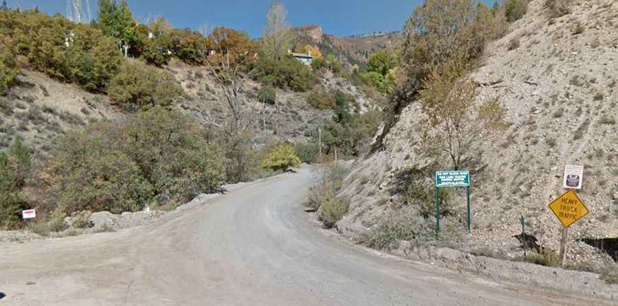
Tucked away in the rugged Rocky Mountains, the remote road to the summit is totally unpaved. It’s called Transfer Trail (Forest Road 602). It’s closed to wheeled motorized vehicles from November to May. At this elevation, winter comes early and stays late on this trail, so you may only be able to safely run it in the middle of the summer.
Located in the White River National Forest, starting from Glenwood Springs, the road to the summit is 26.07km (16.2 miles) long. Recommended for experienced drivers in high-clearance vehicles only, especially going uphill.