Coronet Drive: Driving the old mining road to 3,588m in Colorado
Coronet Drive is a high-altitude mountain road reaching an elevation of 3,588m (11,771ft) above sea level in Summit County, Colorado. Situated within the White River National Forest, this route offers a dramatic transition from a standard mountain drive to a technical off-road transit. Following the course of Pennsylvania Creek, the road serves as a primary link through the high country of the Rockies, where the legacy of old mining operations is visible in the rugged and unforgiving nature of the unpaved track.
| Road facts: Coronet Drive | |
|---|---|
| Location | Summit County, Colorado (USA) |
| Max Elevation | 3,588m (11,771ft) |
| Length | 10.1 miles (16.2 km) |
| Surface | Paved / Rough Mining Road |
How challenging is the transition from paved road to mining track on Coronet Drive?
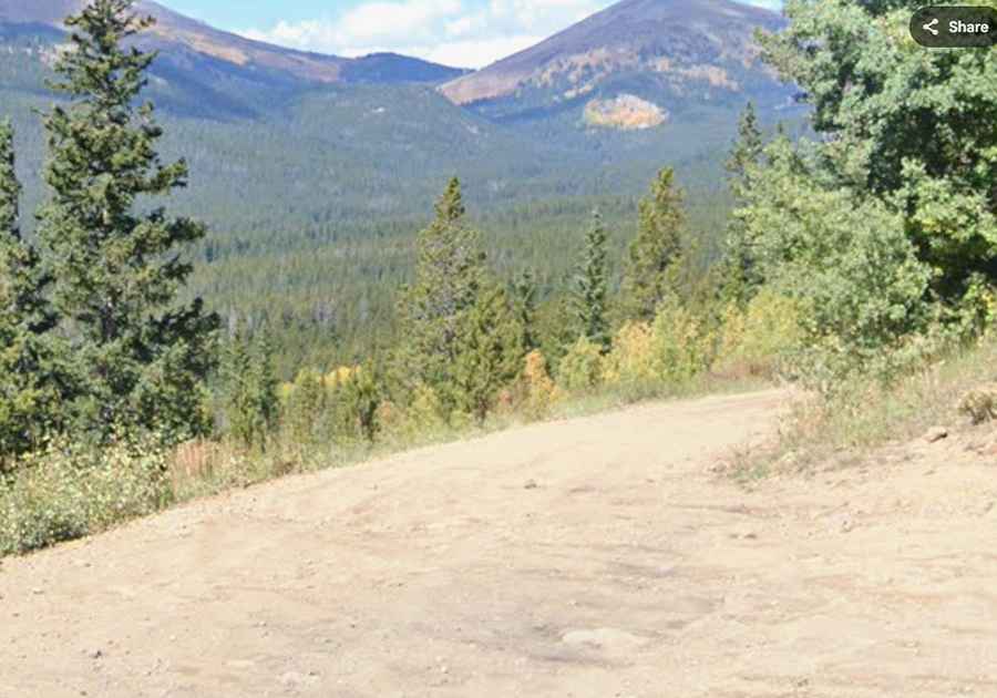
The journey on Coronet Drive spans 10.1 miles, running west to east from CO-9 near the Town of Blue River to County Road 33. The ferro of this route is its changing character; while it begins with a paved surface, it quickly deteriorates into an old mining road that is both steep and narrow. Navigating this upper section requires a high-clearance 4x4, as the track follows the drainage of Pennsylvania Creek where erosion and rockfall are constant hazards. The surface becomes a mix of loose shale and deep ruts that can easily snag the lower components of a vehicle if you don't pick your line with precision.
Why is Coronet Drive impassable from November to May?
At an altitude of nearly 11,800 feet, Coronet Drive is buried under extreme snowpacks for more than half the year. The road is strictly seasonal and typically remains closed from November through late May or early June. Even after the official opening, the high-altitude sections can remain slick with mud from the spring thaw. The technical integrity of the unpaved roadbed is compromised by the melting snow, creating washouts that require high-clearance to clear safely. Driving here during the shoulder months demands total situational awareness, as a sudden mountain storm can turn the narrow mining track into a hazardous trap in minutes.
What are the risks of the steep and narrow sections of the White River National Forest?
The geography of the White River National Forest around Coronet Drive is defined by verticality and tight clearances. The road is notoriously narrow in the upper reaches, offering very few opportunities for vehicles to pass each other. Meeting oncoming traffic requires a slow, calculated reverse maneuver on a surface that is often "tippy" and unprotected by safety barriers. Maintaining a steady velocity is vital to keep traction on the steeper ramps where the thin air at 3,588m reduces engine performance. When descending, relying on your service brakes is dangerous; using low-range engine braking is the only safe protocol to manage the vehicle's weight on the rocky return toward Blue River.
What mechanical preparation is needed for the 11,771ft summit?
Reaching the top of Coronet Drive is a task that puts massive stress on your vehicle's cooling and braking systems. Before leaving the CO-9, a full audit of your 4x4 is mandatory, focusing on tire sidewall strength and undercarriage protection. The sharp rocks of the old mining road can easily cause a puncture or damage the differential. Carrying a full-sized spare tire and basic recovery gear is essential, as the isolation of the high-country means help is miles away. Ensure your vehicle is rated for high-altitude operation, as the combination of vertical gain and technical terrain will test the mechanical limits of any machine.