A mining road to Rogers Pass
Rogers Pass is a high mountain peak at an elevation of 3.633m (11,919ft) above the sea level, located on the boundary of Gilpin and Grand counties in the U.S. state of Colorado. It's one of the highest roads of Colorado.
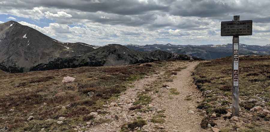
The road to the pass is totally unpaved. It’s a shelf mining road that may intimidate some drivers. Much of this road is above timberline and is steep and rocky in sections. A high-clearance/4-wheel drive vehicle is required. The trail is closed to private vehicles.
Nestled in the Front Range of the Rocky Mountains of North America, within the Arapaho and Roosevelt National Forest, the road to the peak is 4.02 km (2.50 mi) starting from County Road 80 (Corona Pass Road). Over this distance the elevation gain is 243 meters. The average gradient is 6.04%. The road is not plowed in the winter. Note that this trail is very often chilly and windy. The trail climbs above 12,000 feet where snow can linger well into July. Along the way you’ll get full views of the cirque and surrounding lakes.
Pic: Shamus Funk