A Most Tricky Scenic Road to Italian Pass in Colorado
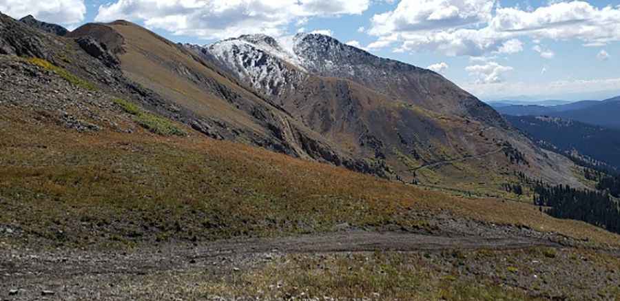
Italian Pass is a high mountain pass at an elevation of 3.584m (11,758ft) above sea level, located in Gunnison County, in the U.S. state of Colorado.
Where is Italian Pass?
The pass is located south of Aspen, in the central part of Colorado, within the Gunnison National Forest.
Is the road to Italian Pass unpaved?
The road to the summit is totally unpaved. It’s called Italian Creek Road FR759. It comprises narrow parts and steep sections. A 4x4 vehicle is required. The road is muddy sometimes.
How long is the road to Italian Pass?
The road is pretty steep. Starting from County Road 742, the ascent is 11.42km (7.1 miles) long. Over this distance the elevation gain is 586 meters and the average gradient is 5.13%.
Is the road to Italian Pass open year-round?
Set high in the Sawatch Range, the road is not plowed in winters. It’s usually impassable from September to July.
Is Italian Pass worth the drive?
The road runs across an area that had a lot of mining activity. Along its way you will pass by the overgrown Last Hope Mine. There are a few remains here. To the left is the road leading to the summit of American Flag Mountain.
Pic: Joshua McNary