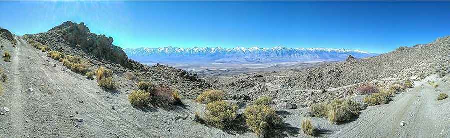
A narrow curvy road to Betty Jumbo Mine in California
Betty Jumbo Mine is an abandoned tungsten mine at an elevation of 2.219m (7,280ft) above sea level, located in Inyo County, in the US state of California.
Where is Betty Jumbo Mine?
The abandoned mine is located east of Independence, in the eastern part of California, within the Inyo National Forest.
Is the road to Betty Jumbo Mine unpaved?
The road to the mine is totally unpaved. It’s called Forest Service Betty Jumbo Mine road (36E401). It’s an old mining road, with dozens of curves and more than 20 hairpin turns, following a narrow canyon that precipitously snakes its way along the side of the Inyos with a lot of steep, rugged mountainside. 4wd vehicle required.
How long is the road to Betty Jumbo Mine?
The road is pretty steep. Starting from the Mazourka Canyon Inyo County Road, the road is 11.90km (7.4 miles) long. Over this distance the elevation gain is 762 meters. The average gradient is 6.40%.
Is the road to Betty Jumbo Mine open year-round?
Set high in the White Mountains, the road is not plowed in winters. The road is subject to rock falls: frequent large, fallen boulders lay across the middle of the road.
Pic: Scott Collins