How to drive the curvy yet scenic TX-166 road in Texas
TX-166 is a winding mountain road running through the Davis Mountains located in Jeff Davis County, in the US state of Texas. It's one of the highest roads in Texas. It is a little-known drive through some of the most remote, isolated landscape in the state.
Is the TX-166 paved?
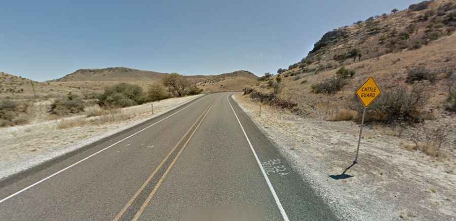
Part of the TX-166 Scenic Loop, the road is totally paved. It has narrow lanes and grassy shoulders. There are some curves to make it interesting but it is not a difficult ride.
How long is the TX-166?
The road is 68.87km (42.8 miles) long, running from the paved TX-118 to TX-17, south of Fort Davis. It was opened on June 28, 1947. There are no towns along the route.
Is the TX-166 open year-round?
Set high in the Davis Mountains, it’s one of the highest public roads in Texas, topping out at 1.896m (6,220ft) above sea level. It’s usually open year-round, though watch for ice on road: it is a great drive any time of year, unless it is icy.
Is the TX-166 worth the drive?
The scenery features towering mountains that make you feel small. The drive offers dramatic elevation changes through a rugged landscape of resilient plants and wildlife. Views of the Davis Mountains are striking, though pull-offs for photos are limited. Expect vibrant wildflowers lining both sides of the road in the spring.