A mining road to the ghost town of Belfort in California
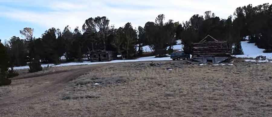
Belfort is an abandoned mining village located in Mono County, in the east-central portion of the U.S. state of California, near the Nevada border. It’s one of the highest roads of California.
Where is Belfort?
Belfort, at an elevation of 3.136m (10,288ft) above sea level, was a mining camp in the Patterson Mining District in the 1880's, located within the Toiyabe National Forest. The area is dotted with many mines, that were active in the 1880s.
Is the road to Belfort unpaved?
The scenic road to the town (with fantastic views) is unpaved. The road gets very narrow for the last 1/4 mile, you might consider parking below the switchbacks and hiking the remainder of the way.
Can I drive my vehicle to Belfort?
The drive is dangerous due to the washouts. The drive shouldn’t be taken lightly, or attempted by beginners in any sort of vehicle. It’s pretty rough and requires using a 4wd vehicle.
How long is the road to Belfort?
Starting from the paved NV-338 road, the drive is 12.87km (8.0 miles) long.
Is the road to Belfort open year-round?
Set high in the Sweetwater Mountains, the village, with several cabins, foundations and mines is accessible from July to October due the snow.
Pic&video: Ghost Towns of Nevada and California.