More than just the Indy 500: Navigating the Major Roads of Indianapolis
Known as the "Crossroads of America," Indianapolis serves as one of the most critical infrastructure nodes in the United States. The city’s identity is inextricably linked to high-velocity transit, being the convergence point for six major interstate highways. For the expeditionary driver, navigating the Indianapolis grid requires a technical understanding of heavy-freight logistics and complex interchange geometry. Beyond the fame of the Indy 500, the city represents a masterclass in midwestern civil engineering and high-density traffic management.
| Indianapolis Infrastructure: Technical Specs | |
|---|---|
| Strategic Hub | "Crossroads of America" (6 Interstate Highways) |
| Primary Interstates | I-65, I-69, I-70, I-74, I-465 (Beltway) |
| Operational Risk | High-density freight transit & merging friction |
| Grid Type | Radial-concentric infrastructure |
1. The Interstate Convergence: A Structural Analysis
The concentration of six interstate highways within a single metropolitan area creates a unique set of challenges for vehicle operators. The primary arterials—I-65 (North-South) and I-70 (East-West)—intersect in the city center, facilitating massive transcontinental freight movement. This high volume of heavy-tonnage vehicles requires drivers to maintain extreme situational awareness, particularly during peak hours when the "merging friction" at major interchanges increases the probability of high-speed collisions.
2. The I-465 Beltway: Managing Radial Traffic
Encircling the city, I-465 is the primary distribution node for the region's traffic. It acts as a bypass for through-traffic but also serves as the main artery for the city's suburban expansion. Navigating the I-465 demands a disciplined approach to lane positioning, as the high frequency of exits and the continuous flow of semi-trucks create a high-pressure environment for smaller passenger vehicles.
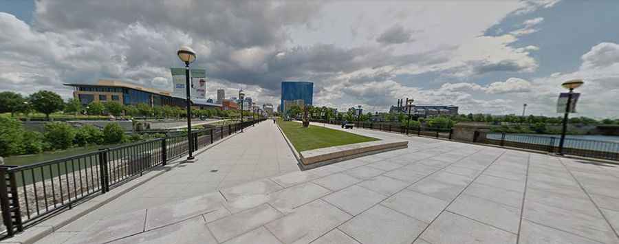
3. White River and Urban Engineering
The city's development around the White River has influenced its structural layout. While areas like White River State Park offer 250 acres of greenery, from an engineering perspective, they represent significant bridge-density zones. The crossing of the river by multiple transit lines requires continuous structural monitoring and creates localized bottlenecks where the road network must adapt to the natural topography of the Indiana flatlands.
4. Tactical Preparedness and Risk Mitigation
Given its status as a crossroads, Indianapolis is a high-risk zone for "Personal Injury" incidents and road accidents involving out-of-state drivers unfamiliar with the local grid.
- Navigation Autonomy: Relying on real-time traffic telemetry is essential to avoid sudden congestion caused by freight-related incidents.
- Insurance Redundancy: As with any major US hub, ensuring comprehensive insurance coverage is a tactical requirement before engaging with the high-velocity interstate system.
Conclusion: The Strategy of the Crossroads
Indianapolis is more than a racing destination; it is a critical artery in the American transport body. By understanding the logistical complexity of its interstates and the technical demands of its radial grid, drivers can navigate the city with professional efficiency. On the roads of Indianapolis, safety is a byproduct of respecting the scale of the infrastructure and the sheer volume of the nation’s transcontinental commerce.