How to drive the gravel summer road to De Herrera Lake in Colorado?
De Herrera Lake is a high mountain lake at an elevation of 3.308m (10,853ft) above sea level, located in Conejos County, in the U.S. state of Colorado.
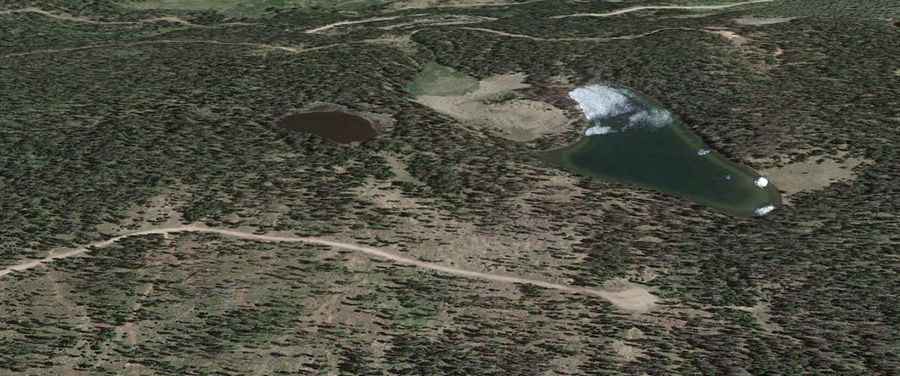
Where is De Herrera Lake?
The lake is located in the southern part of Colorado, within the Rio Grande National Forest.
Is the road to De Herrera Lake unpaved?
The road to the lake is totally unpaved. A 4x4 vehicle is recommended. It features narrow parts and steep sections.
How long is the road to De Herrera Lake?
Starting at the paved State Highway 17 (SH 17), near La Manga Pass, the road to the lake is 8.22 km (5.11 mi) long.
Is the road to De Herrera Lake open year-round?
Set high in the San Juan Mountains, the road tops out at 3.374m (11,069ft) above sea level. It’s not plowed in winters.