Travel guide to the top of Coney Summit
Coney Summit is a high mountain peak at an elevation of 4.059m (13,316ft) above the sea level, located in Hinsdale County, in southwest Colorado, in United States. It’s one of the highest mountain roads in Colorado.
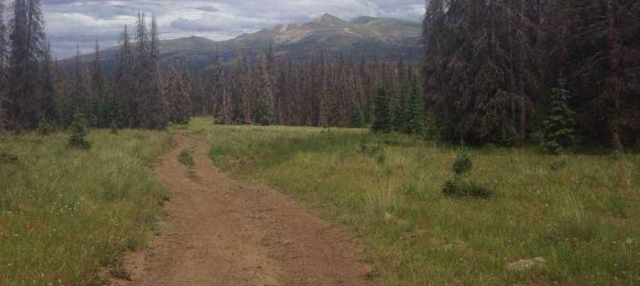
Sitting on top of the Continental Divide, the road to the summit is a rough 4WD trail. Accessibility is largely limited to the summer season. A 4WD vehicle with good clearance is required. It’s the highest point of the Colorado Trail. Located in the heart of the San Juan Mountains Range, at this elevation the air is thin but the views are plentiful. The road affords magnificient views of distant meadows, mountains and other terrain features. The road is very lightly travelled.
The peak is also known as Coney Peak and Coney Point. Unpredictable mountain weather can threaten snow any month of the year. Violent thunder and lightning storms may ravage the afternoon sky. Starting from Carson ghost town, the ascent is 2.2km (1.36 miles) long. Over this distance the elevation gain is 287 meters. The average gradient is 13.04%.
Pic&more info: https://www.gaiagps.com/hike/228942/coney-point-via-continental-divide-nst/