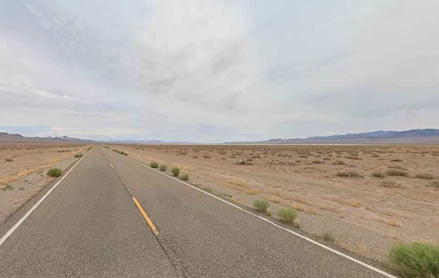
The Extraterrestrial Highway is an iconic route through the Nevada desert
Nevada State Route 375 (the Extraterrestrial Highway) is a very scenic journey located in the US state of Nevada. It’s famous for UFO sightings, alien lore, and its proximity to the top-secret Area 51.
Where is the Extraterrestrial Highway?
The road straddles Nye and Lincoln counties, in the south-central part of Nevada. Located in the belly of Nevada and surrounded by miles of desert this is a lonely route linking one empty area of Nevada with another.
Why is called the Extraterrestrial Highway?
The highway was renamed as the Extraterrestrial Highway in 1996. It has reported more U.F.O. sightings than any other road in the country, and runs adjacent to the Nevada Test and Training Range, which includes Area 51, where many top-secret missiles, aircraft and weaponry have been trialed since the 1950s. As part of an active military base, it is patrolled and guarded by some of the heaviest security on Earth. The small nearby town of Rachel is home to several alien-themed businesses and worth a visit if you’re an alien enthusiast.
How long is the Extraterrestrial Highway?
The road is 159km (98.9 miles) long running east-northwest from Crystal Springs, a ghost town in Lincoln County (on State Route 318) to Warm Springs, a former town in Nye County (on U.S. Route 6).
Is the Extraterrestrial Highway worth it?
It’s an iconic route through the Nevada desert. It’s said to be one of the most desolate roads in the country where you’ll find hardly anyone else on the road. It’s a scenic drive around desert, a truly US open road experience. Be mindful of weather conditions.
Is the Extraterrestrial Highway paved?
The road is fully paved and mostly straight, filled with some amazing desert scenery. It features steep sections. It’s never too busy.
Is the Extraterrestrial Highway open?
Running across the Pahranagat Range, the road is open year-round but be mindful of weather conditions, as the road climbs up a few important mountain passes:
- Hancock Summit, at 1.711m (5,613ft) above sea level in Lincoln County.
- Coyote Summit, at 1.710m (5,610ft) above sea level in Lincoln County.
- Queen City Summit, at 1.819m (5,967ft) above sea level in Nye County. At this elevation it’s the highest point of the highway.