How to drive the unpaved road to Palomar Mountain High Point Lookout in California?
Palomar Mountain is a high mountain peak at an elevation of 1.874m (6,148ft) above sea level, located in northern San Diego County, in the US state of California.
Where is Palomar Mountain?
The peak is located in the southern part of California, within the Cleveland National Forest. The summit offers stunning views all the way to the coast.
Why is it called Palomar Mountain?
The peak was once called Smith Mountain but reverted to its Mexican name, Palomar (meaning “place of the pigeons”), in 1901.
Why is there a road to Palomar Mountain?
The summit hosts a fire lookout built in 1935. The public is not permitted to climb this tower.
Is the road to Palomar Mountain unpaved?
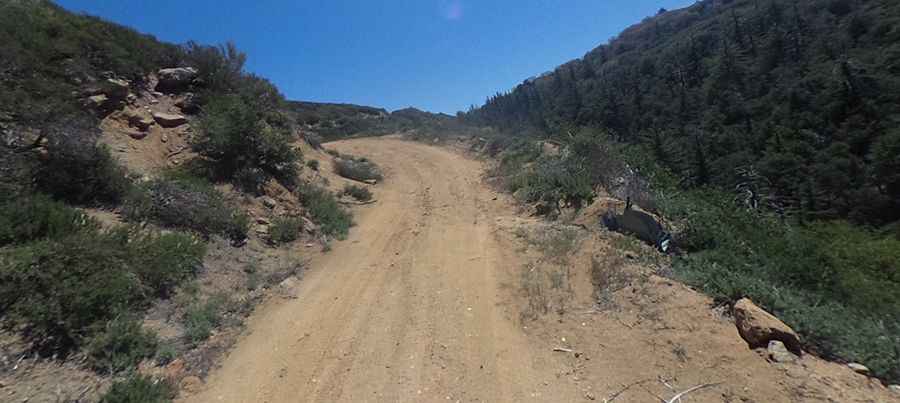
Set high in the Snake Range, the road to the summit is totally unpaved, with narrow parts and very steep sections. A 4x4 vehicle is required.
How long is the road to Palomar Mountain?
Starting from Palomar Divide Road, the road to the summit is 509m long. Over this distance, the elevation gain is 48m and the average gradient is 9.43%.
Pic: Scott Kennedy