How to drive the unpaved road to the lookout at Signal Peak in New Mexico?
Signal Peak is a high mountain peak at an elevation of 2.744m (9,002ft) above sea level, located in Grant County in the U.S. state of New Mexico.
Where is Signal Peak?
The peak is located north of Silver City, in the southwestern part of New Mexico, within the Gila National Forest.
Why is there a road to Signal Peak?
The summit hosts a lookout known as Signal Peak Lookout. Originally built in 1932, it was replaced in 1966. From the summit you can see most of southwestern New Mexico, the Chihuahuan Desert (south) and the Gila Wilderness (north).
Is the road to Signal Peak unpaved?
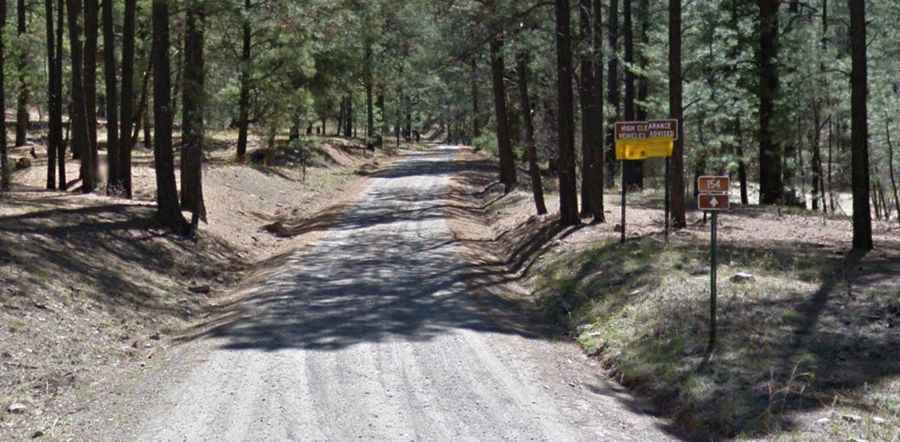
The road to the summit is totally unpaved. It’s called Signal Peak Road (Forest Road 154) and offers spectacular views of the surrounding area. High clearance vehicles advised. It comprises steep parts.
How long is the road to Signal Peak?
Starting from the hazardous NM-15 Road, the road is 10.78km (6.7 miles) long. Over this distance the elevation gain is 517 meters. The average gradient is 4.79%.
Is the road to Signal Peak open year-round?
Set high in the Pinos Altos Range, the road is not plowed in winters.