Driving the paved but steep Wauconda Pass in Washington
Wauconda Pass is a high mountain pass at an elevation of 1,316 meters (4,317 ft) above sea level, located on the line between Okanogan and Ferry counties in the U.S. state of Washington.
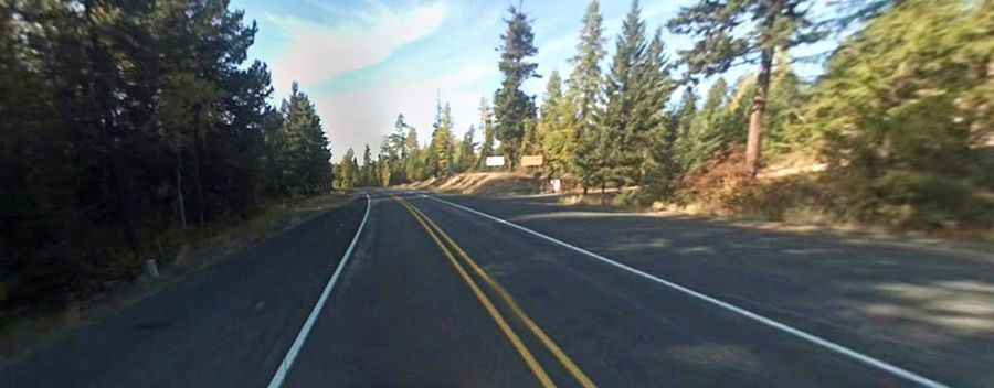
| Road facts: Wauconda Pass | |
|---|---|
| Location | Okanogan / Ferry County, Washington (USA) |
| Road Name | State Route 20 (North Cascades Highway) |
| Length | 16.9 miles (27.19 km) |
| Elevation at Summit | 1,316 m (4,317 ft) |
| Surface | 100% paved asphalt |
| Key Hazards | Sustained steep grades, narrow shoulders, black ice, wildlife crossings |
Where is Wauconda Pass located?
Situated on State Route 20, the pass connects the unincorporated community of Wauconda to the west with the town of Republic to the east, crossing the Okanogan Highlands in northern Washington.
Is the road to Wauconda Pass paved?
Yes, the road is fully paved along its entire 16.9-mile stretch. It is a well-maintained two-lane state highway that remains open year-round, subject to winter weather conditions.
How difficult is the drive through Wauconda Pass?
The climb features long, unrelenting gradients that put heavy strain on engine cooling systems and transmissions, particularly when towing or hauling loads. Narrow shoulders along several sections make passing slow-moving traffic or cyclists difficult, while commercial truck traffic is common along the route.
What are the main hazards on Wauconda Pass?
The primary hazards are sudden black ice in winter, autumn fog, and frequent deer crossings at dawn and dusk. On long descents, heavy reliance on foot brakes can lead to brake overheating and fade, making low-gear engine braking necessary to control speed.