How to get to Mesa Seco in Colorado?
Mesa Seco is a high mountain pass at an elevation of 3,846 m (12,618 ft) above sea level, located in Hinsdale County, in the US state of Colorado. While Mesa Seco is technically a mountain peak, the road passes just a few meters east of the summit, making it effectively a mountain pass for vehicles. This makes it one of the highest roads in Colorado.
Where is Mesa Seco?
The pass is located east of Lake City, in the southwestern part of Colorado, within the Rio Grande National Forest.
Is the road to Mesa Seco unpaved?
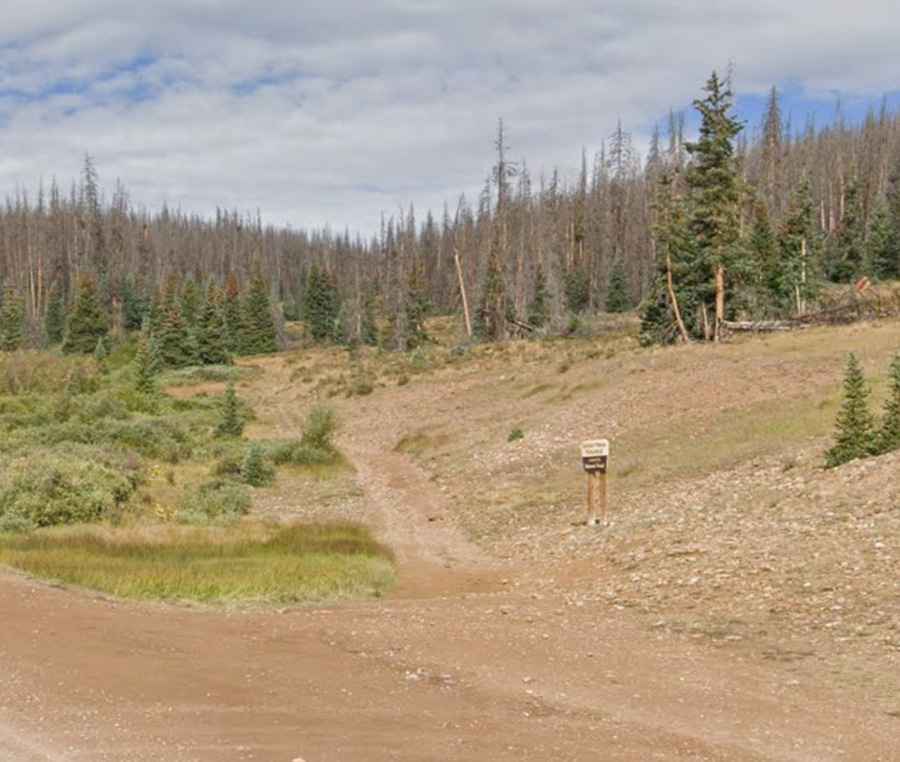
The road is entirely unpaved and requires a 4x4 vehicle. Some sections are very rugged, with parts where the road has partly disappeared, demanding careful navigation.
How long is the road to Mesa Seco?
The route runs approximately 20 km (12 miles), connecting Slumgullion Pass in the south to Cebolla Creek in the east.
Is the road to Mesa Seco open in winter?
Set high in the San Juan Mountains, the road is impassable from October to June due to snow and harsh conditions.