How to drive the unpaved road to Cone Peak in California
Cone Peak is a mountain peak at an elevation of 1.261m (4,137ft) above sea level, located in Monterey County, in the US state of California.
Where is Cone Peak?
The peak is located on the Big Sur coast of California, within Los Padres National Forest. At this elevation it’s the second highest mountain in the Santa Lucia Range. This entire area was burned in the fires of 2008.
Why is there a road to Cone Peak?
The summit hosts a fire lookout, with great views stretching from the Santa Lucia Range down to the blue Pacific.
Is the road to Cone Peak unpaved?
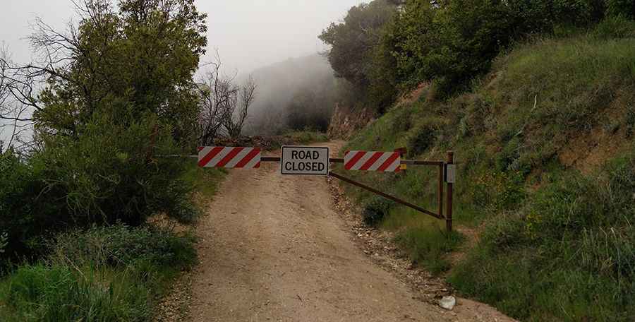
The road to the summit is totally unpaved. It’s called Forest Route 22S05. It’s very rocky, eroded and partly washed out. 4x4 vehicles only. It’s currently blocked by a barrier. 4x4 vehicles only.
How long is the road to Cone Peak?
Starting from the paved Nacimiento-Fergusson Road, the ascent is 10.94km (6.8 mi) long. Over this distance, the elevation gain is 426m (1,398 ft) and the average gradient is 3.89%.
Pic: Nerijus Navickas