What Are California’s Most Dangerous Streets For Cyclists?
Recent analytics from the National Highway Traffic Safety Administration (NHTSA) indicate a critical surge in cyclist fatalities across the United States, with a 25% increase recorded between 2010 and 2018. California, despite its forward-thinking safety initiatives in cities like Davis, remains a high-risk zone. With an average of 139 cyclist fatalities annually, the state faces unique challenges where high-density urban transit intersects with vulnerable road users.
| California Cyclist Safety: Technical Risk Factors | |
|---|---|
| Urban Fatality Ratio | 75% of fatalities occur in major metropolitan hubs |
| High-Risk Sector (LA) | Imperial Highway & Pacific Coast Highway (PCH) |
| Technical Hazard (SF) | "Dooring" incidents and steep urban gradients |
| Infrastructure Solution | Vision Zero - Data-driven traffic calming |
1. Los Angeles: The Architecture of Risk
Los Angeles is statistically the most dangerous city in California for non-motorized transport. Data from the Vision Zero program identifies the Imperial Highway (between Athens Way and Vermont Avenue) as a lethal sector. Furthermore, the intersection of the Pacific Coast Highway (PCH) and Temescal Canyon Road represents a critical conflict point where high-speed coastal transit meets recreational beach access, resulting in frequent high-impact collisions.
2. San Francisco: "Dooring" and Grid Constraints
In the high-density grid of San Francisco, the primary technical hazard is "dooring"—where cyclists collide with unexpectedly opened vehicle doors. Between 2012 and 2015, over 200 such incidents were recorded. High-risk corridors include Polk Street (Tenderloin), Divisadero Street, and Valencia Street. The city’s recent conversion of Market Street into a car-free zone is a direct response to these sustained infrastructure failures.
3. San Jose: Eastern District Conflict Zones
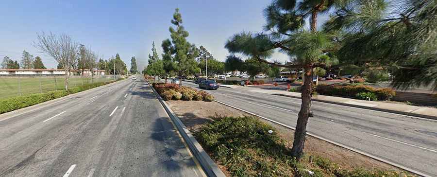
Cyclist fatalities in San Jose peaked in 2015, and despite a slight decrease, the rate remains 40% higher than 2009 levels. The majority of collisions are concentrated in the eastern district, particularly around Alum Rock. The intersection of McLaughlin Avenue and Story Road is currently flagged as the city’s most dangerous node, requiring significant traffic-calming interventions to mitigate the high rate of urban crashes.
4. Sacramento: Capital Fatality Trends
Sacramento has recently seen an increase in cyclist mortality rates, climbing from 11 to 18 annual deaths in a single study period. Mapping by Vision Zero indicates that the most hazardous sectors are located in the southern district, specifically Marysville Boulevard and Florin Road. These streets are characterized by high-speed urban transit that lacks sufficient physical separation for cyclists.
Infrastructure Innovations: The Path Forward
While the statistics are sobering, cities like Davis and Berkeley serve as technical benchmarks for the rest of the state. Their success is attributed to "protected" bike lanes—which provide physical buffers from motor vehicles—and safety education initiatives that reduce human error at critical intersections. As more Californian cities adopt these engineering standards, the state hopes to transition from a high-risk environment to a national leader in urban transit safety.
Conclusion: Situational Awareness in the Urban Grid
For cyclists, navigating California’s major cities requires extreme situational awareness and an understanding of the state’s most accident-prone nodes. From the high-speed reaches of the Imperial Highway to the congested lanes of the Mission District, safety is a product of infrastructure quality and defensive transit. By identifying these "danger zones," both planners and road users can work toward a zero-fatality future on the Golden State’s streets.