What are the most spectacular roads in the USA?
The vast expanse of the USA, stretching from the amber waves of grain to the majestic purple mountain majesties, boasts a network of roads that are as diverse as the nation's tapestry of cultures. One such road, the Million Dollar Highway, is often touted as America's crown jewel of roadways, leading adventurers through awe-inspiring terrains and offering unparalleled vistas. Further north, the Iron Mountain Road, with its dizzying 314 curves, 14 switchbacks, 3 pigtails, and 3 tunnels, stands as a testament to man's desire to conquer nature, providing a thrilling drive that's not for the faint-hearted.
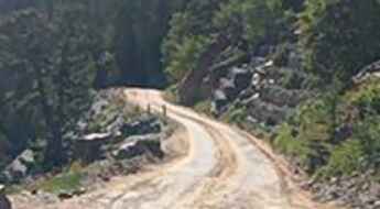
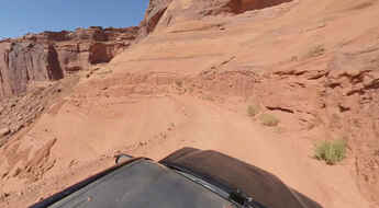
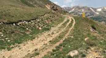
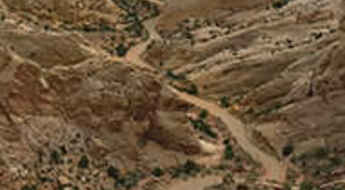
Journey to Colorado, and you'll find yourself face to face with the infamous Black Bear Pass - a road that promises not just breathtaking beauty, but also adrenaline-pumping excitement. For the off-road enthusiasts, Engineer Pass offers an opportunity to get up close and personal with Colorado's high mountain terrains, challenging drivers to push their limits amidst staggering beauty. Not to be outdone, Utah’s Canyonlands beckons with the Shafer Trail Road, an iconic route that cuts through the heart of some of the most stunning canyons, making you feel like you're driving through the very pages of history.
In the USA, each road is a journey, an exploration, a challenge, and a story. They are gateways to discovering the grandeur of the nation, to feeling the pulse of its land, and to embracing the spirit of adventure that is quintessentially American. Whether bathed in the golden hues of sunrise or shrouded in the mysteries of twilight, these roads promise experiences that linger long after the journey's end.
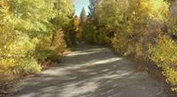
Kebler Pass is the best place to see fall colors in Colorado
Kebler Pass is a high mountain pass at an elevation of 3,050m (10,007ft) above sea level, located in Gunnison County, in the U.S. state of Colorado. The road to the summit switches from paved to gravel several times, but the road is overall in great condition.
Driving the treacherous Raton Pass in the Sangre de Cristo Mountains
Raton Pass is a high mountain pass at an elevation of 2,390m (7,841ft) above sea level, located on the Colorado-New Mexico border in the United States.
Katy Freeway in Texas is one of the widest highways in the world
Located in Houston, Texas, in the Southern United States, Katy Freeway is one of the widest freeways in the world. The road was widened in 2008 to as many as 26 total lanes.
Driving through the scenic Monarch Pass in Colorado
Monarch Pass is a high mountain pass at an elevation of 3,448m (11,312ft) above sea level, located in the U.S. state of Colorado. The grade is intense for ascent and descent, so use lower gears.
Mount Misery Road in New York is a Top Haunted Road
Mount Misery Road is a narrow, winding, and dangerous road with numerous chilling urban legends associated, located in Suffolk County, in the U.S. state of New York. The road has gained a reputation for being linked to various urban legends and spooky tales, contributing to its popularity among those interested in paranormal stories and haunted locations. It's one of the Top Haunted Roads in the world.
Driving the infamous Atigun Pass in Alaska
Atigun Pass is a high mountain pass at an elevation of 1,470m (4,822ft) above sea level, located in Alaska, USA. It's known as the highest year-round pass in the state, and its 11 to 12 percent grades are sure to challenge even the most experienced drivers.
Trail Ridge Road is the highest continuous paved road in the USA
Trail Ridge Road is the name for a stretch of U.S. Highway 34 with a length of 48 miles (77 km) located in Larimer County, in the U.S. state of Colorado. It is said to be the highest continuous paved road in the country.
Driving the legendary Independence Pass in Colorado
Independence Pass is a high mountain pass at an elevation of 3,692m (12,112ft) above sea level, located on the boundary between Pitkin and Lake counties in the U.S. state of Colorado. It's one of the highest roads in Colorado.
Shoemaker Canyon Road in California is the Armageddon Highway
Located in Los Angeles County, in the US state of California, Shoemaker Canyon Road is an abandoned road. Built in the early days of the Cold War (1950s and 60s) with convict labor, the road was intended as an escape route in case Los Angeles was attacked with nuclear weapons.
Wolf Creek Pass in Colorado: Beware of the wolf
Wolf Creek Pass is a high mountain pass at an elevation of 3,313m (10,869ft) above sea level, located in Mineral County, in the US state of Colorado. It features a dangerous hairpin curve six-and-a-half miles from the summit.
Kaiser Pass is a classic road trip in Sierra National Forest
Kaiser Pass is a high mountain pass at an elevation of 2,803m (9,196ft) above sea level, located in Fresno County, in the U.S. state of California. It’s one of the highest roads in California.
A journey on the legendary California State Route 58
California State Route 58 is one of the most scenic drives in the USA. Light traffic, a great road, cool views, and good food at both ends make Highway 58 a ride not to be missed.
Mojave Road is a 4-Wheel Drive Route in California
Mojave Road is the name of an east-west route located within the Mojave National Preserve, in the US state of California. The road, one of North America's most iconic 4x4 routes, is about 150 miles long and can be done in 3 or 4 days.
An all-weather paved road to Sandia Crest in New Mexico
Sandia Crest is a high mountain peak at an elevation of 3,255m (10,678ft) above sea level, located in Bernalillo County, in the U.S. state of New Mexico. It’s one of the highest roads in New Mexico.
Driving the long White Rim Road in Canyonlands NP
White Rim Road is a very scenic yet challenging unimproved road running through the White Rim bench lands, below the upper plateau of the Island in the Sky District between the Colorado and Green Rivers, in the US state of Utah. If you're afraid of heights, this road will turn your stomach inside out.
Cottonwood Pass is a beautiful scenic drive in Colorado
Cottonwood Pass is a high mountain pass at an elevation of 3,696m (12,126ft) above sea level, located in the U.S. state of Colorado. The road to the summit provides a beautiful scenic drive and is one of the highest roads in Colorado.
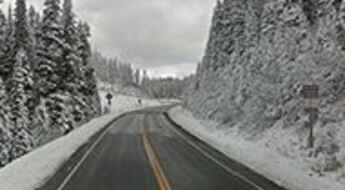
A white-knuckle drive to Berthoud Pass in Colorado
Berthoud Pass is a high mountain pass at an elevation of 3,446m (11,307ft) above sea level, located on the boundary between Clear Creek and Grand counties, in the U.S. state of Colorado.
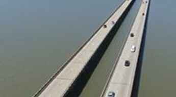
Lake Ponchartrain Causeway Bridge never seems to end
Lake Ponchartrain Causeway Bridge is 24 mile-long and links New Orleans to Mandeville, in the US state of Louisiana, crossing the Lake Ponchartrain. It’s one of the most spectacular bridges in the world.
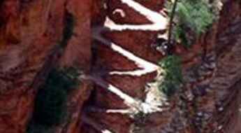
Walter's Wiggles in Utah: 21 short, very steep switchbacks
Located in Washington County, in the southwestern corner of Utah, United States, the trail to Angel’s Landing is an unforgettable short adventure. It’s a set of 21 short, very steep switchbacks that present a relentless uphill climb. It’s said to be one of the most difficult and most terrifying hikes in the zone.
Lippincott Mine Road in California is for experienced 4WD drivers and vehicles only
Lippincott Mine Road is a very challenging drive located in Inyo County, in the U.S. state of California. It’s a faster route to the park than others, but you might be clenching your jaw the whole way, trying not to fall hundreds of feet to oblivion, and it’s not for the casual driver or the casual car. It’s one of the challenging Backcountry roads in Death Valley National Park.
Dare to drive the challenging Camp Bird Road in Colorado
Camp Bird Road is a picturesque mountain road with narrow shelf sections located southwest of Ouray County, in the U.S. state of Colorado. A 4WD vehicle and no fear of heights are recommended.
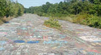
Route 61 in Centralia is consumed by an underground fire since 1962
A short section of Pennsylvania Route 61 (PA 61) is officially destroyed in the town of Centralia, in the U.S. state of Pennsylvania. The road has been consumed by an underground mine fire since 1962. The cause of the fire is suspected to be from trash burning that ignited a coal strip in a cave.
Top 10 Most Haunted Bridges of Illinois
Sometimes perilous and almost always remote, rural bridges have long been a staple of local ghostlore. They are places where ghosts of long-forgotten accidents still roam and phantom voices cry out from the water below. At Mysterious Heartland, we have visited allegedly haunted bridges all over the State of Illinois, but which one will prove to be the most haunted?
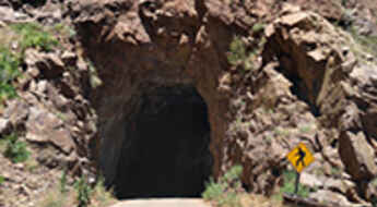
Gilman Tunnels take you through the Jemez Mountains of NM
Tucked away in northern New Mexico’s Jemez Mountains, in the USA, the Gilman Tunnels, blasted out of the rock in the 1920s, were originally used for a logging railroad and are quite high. The tunnels have been the filming locations of many Hollywood hits.
The Mysterious Light of Saratoga on the haunted Ghost Road Scenic Drive of Texas
Located in Hardin County, in the U.S. state of Texas, Bragg Road (aka Ghost Road Scenic Drive) is the name of a haunted road. This dark, unpaved road outside of Saratoga is pure legend.
Road trip guide: Conquering Mauna Kea in Hawaii
Mauna Kea is a volcano at an elevation of 4,207m (13,803ft) above sea level, located in the U.S. state of Hawai’i. It’s the only place in the world where you can drive from sea level to a nearly 14,000ft peak in under 2 hours. It's one of the highest roads in the USA.
California Route 36 is The Road With 1.811 Turns
With 140 miles of twists and turns, California Route 36 is considered by some to be among the best roads in California. If you love twisty roads, this is the route for you. It’s one of the most scenic drives in the USA.
How To Travel The Morrison Jeep Trail In Wyoming
Located in Park County, in the U.S. state of Wyoming, the challenging Morrison Jeep Trail is a very rough drive. It's a challenging ride because of the combination of altitude and terrain. It is not for the timid or people in poor condition.
What are the highest roads in California?
California, the Golden State, is not just about glitzy Hollywood glamour, sun-kissed beaches, and breathtaking coastal cliffs. Tucked away in its eastern half, this geographically diverse wonderland conceals an adventurer's paradise. Rising majestically, rugged mountain ranges streak across the landscape, hosting peaks that tower over 13,000 feet (3,962m). These lofty heights, draped in a pristine blanket of snow throughout the winter months, are home to some of the most challenging, exhilarating, and incredibly scenic roads in America. Buckle up, as we're about to take you on a thrilling journey across the highest roads of California.
Coronado Trail Scenic Byway is the road with 460 turns in Arizona
Coronado Trail Scenic Byway is the name of a very exciting drive in the U.S. state of Arizona. The road is chock-full of challenging switchbacks and hairpin turns, with 460 curves. It's one of the highest roads in Arizona.
Hawk's Nest Road is a twisting and rolling breathtaking ride in New York
Hawk's Nest Road is the name of a fantastic, winding piece of asphalt located in the US state of New York. It’s a curvy, cliffside stretch of road along the Delaware River with breathtaking views.
Beautiful turnouts and scary gradients on the road to Teton Pass in Wyoming
Teton Pass is a high mountain pass at an elevation of 2,571m (8,435ft) above sea level, located in Teton County, in the U.S. state of Wyoming. The grades on some parts of the road can be scary in a passenger vehicle.
Mineral King Road in California: 398 curves in just 25 miles
Mineral King Road is the name of a stunning drive located in Tulare County, in the U.S. state of California. The road is said to have 398 curves in just 25 miles.
Mount Antero in Colorado is one of the highest roads of North America
Mount Antero is a high mountain peak located in Chaffee County, in the U.S. state of Colorado. A rocky, rough road with a dramatic set of switchbacks ascends to the southwest of the summit, at 4,189m (13,743ft) above sea level. It's one of the highest roads in the USA.
Slumgullion Pass is the steepest paved maintained road in Colorado
Slumgullion Pass is a high mountain pass at an elevation of 3.528m (11,574ft) above sea level, located in Hinsdale County, Colorado, USA. It claims the steepest grades of any fully paved and maintained road in the state.
Driving the dangerous road to Cajon Pass in California
Cajon Pass is a mountain pass at an elevation of 1,186m (3,891ft) above sea level, located in San Bernardino County, in the U.S. state of California.
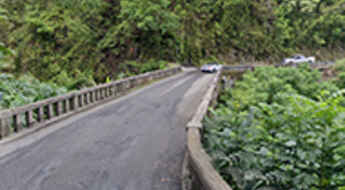
Hana Highway: 617 turns and 46 one-lane bridges in Hawaii
Located on the eastern side of Maui, the second-largest of the Hawaiian Islands, Hana Highway is one of the most scenic drives in the world.
Rock Creek Road is the highest paved public road of California
Rock Creek Road is a very scenic drive with dramatic views in the U.S. state of California. It is said to be the highest paved public road in California.
Lolo Pass on Montana-Idaho border: curves next 99 miles
Lolo Pass is a high mountain pass at an elevation of 1,598m (5,242ft) above sea level, located on the border of Montana and Idaho, in the USA.
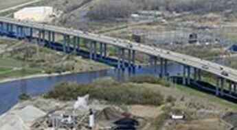
Zilwaukee Bridge in Michigan is the perfect example on how not to build a bridge
Located in Zilwaukee, in Saginaw County in the U.S. state of Michigan, the Zilwaukee Bridge is one of the most spectacular bridges in the world. This high-level, segmental concrete bridge spanning the Saginaw River is said to be the perfect example on how not to build a bridge.
Schnebly Hill Road is an amusement ride in Sedona
Located in Coconino County, in the US state of Arizona, Schnebly Hill Road is one of the most well-known and scenic routes in the Sedona area, with twists and turns, steep cliffs, washout areas, and great views from the pull-off spots.
Driving the scenic Montana 2 along the Rocky Mountains
Running from the historic city of Butte to Three Forks, Montana 2 is an adrenaline-pumping adventure that promises a thrilling ride through the state.
Skyline Drive in Colorado: You're Literally on a Little Strip of Roadway on Top of a Mountain
Skyline Drive is one of Colorado’s hidden gems. It’s a one-way, narrow road with precipices on one side, the other, or both at all times.
Sherman Pass in California has lots of twists and turns
Sherman Pass is a high mountain pass at an elevation of 2.804m (9,200ft) above sea level, located in Tulare County, in the U.S. state of California. The road features lots of twists and turns and is one of the highest roads in California.
Discovering the Beauty of Old Fall River Road: A Journey Through Colorado's Wilderness
Old Fall River Road is the name of a narrow one-lane dirt road with perilous heights located in Larimer County, in the U.S. state of Colorado. It’s one of the highest roads in Colorado.
The Ultimate Guide to Traveling the Mineral Bottom Trail in Utah
Mineral Bottom Trail is a very scenic drive located in Grand County, in the US state of Utah. When it's wet, the road can be impassable, especially on the steep switchbacks that descend into the Green river valley on the last part.
Rollins Pass is a historic road in the Rocky Mountains of Colorado
Rollins Pass is a high mountain pass at an elevation of 3.565m (11,696ft) above sea level in the U.S. state of Colorado.
Burr Trail is an unforgettable scenic drive in Utah
Burr Trail is a very scenic drive in the US state of Utah. Although in dry weather it's easily accessible to passenger cars, wet weather may make the road impassable even for 4WD vehicles. It’s one of the famous hairpinned roads in the world.
