What are the most spectacular roads in the USA?
The vast expanse of the USA, stretching from the amber waves of grain to the majestic purple mountain majesties, boasts a network of roads that are as diverse as the nation's tapestry of cultures. One such road, the Million Dollar Highway, is often touted as America's crown jewel of roadways, leading adventurers through awe-inspiring terrains and offering unparalleled vistas. Further north, the Iron Mountain Road, with its dizzying 314 curves, 14 switchbacks, 3 pigtails, and 3 tunnels, stands as a testament to man's desire to conquer nature, providing a thrilling drive that's not for the faint-hearted.
Journey to Colorado, and you'll find yourself face to face with the infamous Black Bear Pass - a road that promises not just breathtaking beauty, but also adrenaline-pumping excitement. For the off-road enthusiasts, Engineer Pass offers an opportunity to get up close and personal with Colorado's high mountain terrains, challenging drivers to push their limits amidst staggering beauty. Not to be outdone, Utah’s Canyonlands beckons with the Shafer Trail Road, an iconic route that cuts through the heart of some of the most stunning canyons, making you feel like you're driving through the very pages of history.
In the USA, each road is a journey, an exploration, a challenge, and a story. They are gateways to discovering the grandeur of the nation, to feeling the pulse of its land, and to embracing the spirit of adventure that is quintessentially American. Whether bathed in the golden hues of sunrise or shrouded in the mysteries of twilight, these roads promise experiences that linger long after the journey's end.
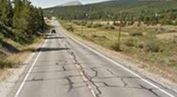
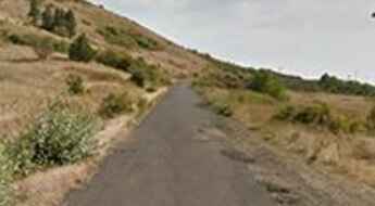
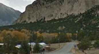
The road to Alma, the highest town in North America
Located in Park County, Colorado, United States, Alma is the highest incorporated town in North America at an elevation of 3.224m (10,578ft) above the sea level. It’s one of the highest towns accessible by car on Earth.
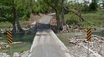
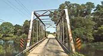
Rebecca Creek Road, a floodable road in Texas
Rebecca Creek Road is a short paved road located on the Edwards Plateau in the U.S. state of Texas. The road features a river crossing which floods during storm season.
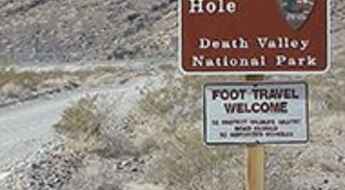
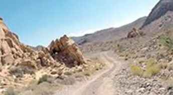
The unpaved road to Devil’s Hole
Devil’s Hole is a subaqueous cavern in Nye County, in south-central Nevada, USA.
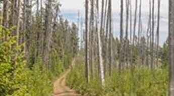
Ultimate 4wd destination: Logan Peak in Utah
Logan Peak is a high mountain peak at an elevation of 2.964m (9,724ft) above the sea level, located in Cache County, on the northern edge of Utah, United States.
A hairy scenic road to Steptoe Butte in WA
Steptoe Butte is an isolated hill at an elevation of 1.101m (3,612ft) above the sea level, located in Whitman County, on the southeastern edge of the state of Washington, in the northwest United States.
The Wild Road to Ptarmigan Pass
Ptarmigan Pass is a high mountain pass at an elevation of 3.352m (11,777ft) above the sea level, located on the boundary of Summit and Eagle counties, in central Colorado, in the United States.
A memorable road trip to North Pass
North Pass is a high mountain pass at an elevation of 3.100m (10,170ft) above the sea level, located in Saguache County, in the U.S. state of Colorado.
A gravel road to the historic Mullan Pass
Mullan Pass is a high mountain pass at an elevation of 1.799m (5,902ft) above the sea level, located on the boundary of Powell and Lewis and Clark counties, in the US state of Montana.
Road trip guide: Conquering Goose Lake in Montana
Goose Lake is a fish-filled mountain lake in a tree-less, high-altitude basin at an elevation of 3.021m (9,911ft) above the sea level, located in Park County, in the U.S. state of Montana.
The road to Thompson Pass, the snowiest place in Alaska
Thompson Pass is a mountain pass at an elevation of 841m (2,759ft) above the sea level, located in Valdez–Cordova Census Area, in the state of Alaska, United States.
The Ultimate Guide to Traveling the South Willow Canyon Road
South Willow Canyon Road is a very scenic drive in Tooele County, in western Utah, USA. The road is mostly paved but becomes gravel at the National Forest boundary and winds through some very interesting narrows.
Minaret Summit, an iconic road in the Sierra Nevada
Minaret Summit is a high mountain peak at an elevation of 2.824m (9,265ft) above the sea level, located on the boundary between Mono and Madera counties, in the US state of California. It's one of the highest mountain roads of California.
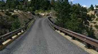
Hell's Backbone Bridge
Located in Garfield County, in southern Utah, USA, Hell's Backbone Bridge is one of the most spectacular bridges in the world.
The Snake is a challenging drive with 489 curves in TN
Located on the boundary between Johnson and Sullivan counties, in the northeastern part of Tennessee, in USA, The Snake is an outstanding ride, with 489 curves.
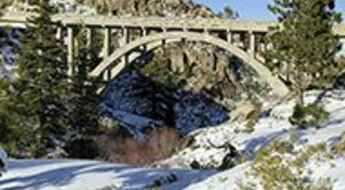
The iconic Donner Summit Bridge in California
Located in Nevada County, in Califnornia, USA, Donner Summit Bridge is one of the most spectacular bridges in the world.
The Ultimate Guide to Traveling the Crescent Meadow Road
Moro Rock/Crescent Meadow Road is a paved narrow mountain road located in Tulare County, in the U.S. state of California.
Travelling through Cucharas Pass road
Cucharas Pass is a high mountain pass at an elevation of 3.036m (9,960ft) above the sea level, located on the boundary of Huerfano and Las Animas counties, in south central Colorado in the United States.
Kolokole Pass
Kolokole Pass is a mountain pass at an elevation of 504m (1,653ft) above the sea level, located on the island of Oahu, the third largest of the Hawaiian Islands, in the middle of the vast Pacific Ocean, USA.
The intimidating road to Mammoth Mountain
Mammoth Mountain is a high mountain peak at an elevation of 3.364m (11,036ft) above the sea level, located in Madera County, at the geographic center of the U.S. state of California. It’s one of the highest mountain roads of California.
A narrow unpaved road to Devil Mountain
Devil Mountain is a high mountain peak at an elevation of 3.026m (9,927ft) above the sea level, located in Archuleta County, in the U.S. state of Colorado.
Cactus Forest Drive, a scenic road in Saguaro NP
Cactus Forest Scenic Loop Drive is a one way paved loop road located in Pima County, Arizona, in the southwestern United States.
The most dangerous intersection in every state
Every state has at least one intersection that plays host to more accidents and close calls than all the rest. Time Magazine looked at data from the National Highway Traffic Safety Administration to determine the most dangerous intersection in each US state.
An old mining road to Mount Morgan
Mount Morgan is a high mountain peak located in northwestern Inyo County, California, in USA. A road climbs up to 3.619m (11,873ft) above the sea level. It’s one of the highest mountain roads of California.
Ripple Creek Pass, a road with lakes, mountains and meadows all around
Ripple Creek Pass is a high mountain pass at an elevation of 3.158m (10,360ft) above the sea level, located in Rio Blanco County, in the U.S. state of Colorado.
Chalk Creek Drive: a beautiful road to St. Elmo ghost town
County Road 162 (Chalk Creek Drive) is a very beautiful drive located in Chaffee County, in the U.S. state of Colorado.
Travelling through the haunted Dyreson Road Bridge
Located in Dane County, Wisconsin, in USA, the Dyreson Road Bridge is one of the most spectacular bridges in the world.
Ultimate 4wd destination: Bitter Springs Trail
Bitter Springs Trail is a challenging 28-mile route linking old mining roads and washes through the Muddy Mountains between Interstate 15 and the highway around Lake Mead near Echo Bay, located northeast of Las Vegas, Nevada, in USA.
The road to Hat Point in OR is said to be the scary of scaries
Hat Point is an overlook located in Wallowa County, Northeast Oregon, in USA, at an elevation of 2.130m (6,988ft) above the sea level. This is a journey that some will never do again because it frightened them so much: there are steep drop-offs and a very narrow road.
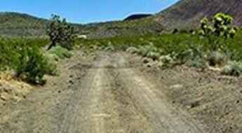
Aiken Mine Road: other-worldly landscapes of basalt flows in CA
Aiken Mine Road is an old mining track located in the Mojave Desert of San Bernardino County, California, USA. 4x4 vehicles recommended.
Ultimate 4wd destination: Leviathan Peak
Leviathan Peak is a high mountain peak at an elevation of 2.732m (8,963ft) above the sea level, located in Alpine County, in the U.S. state of California.
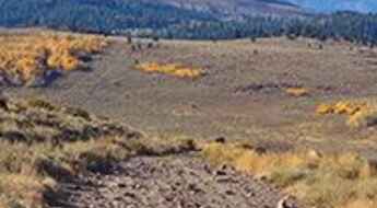
A sensational drive to Louis Lake
Louis Lake is a high mountain lake at an elevation of 2.617m (8,585ft) above the sea level, located in Fremont County, in the U.S. state of Wyoming.
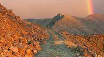
A brutal but stunning road to Santa Fe Peak
Santa Fe Peak is a high mountain peak at an elevation of 4.008m (13,149ft) above the sea level, located in eastern Summit County, Colorado, in USA. The road to the summit may be intimidating to novice drivers. It’s one of the highest mountain roads of Colorado.
A 5 stars road to the top of Tennessee Pass in Colorado
Tennessee Pass is a high mountain pass at an elevation of 3.183m (10,442ft) above the sea level, located on the boundary of Lake and Eagle counties, in the U.S. state of Colorado.
Ultimate 4wd destination: Hardscrabble Mountain
Hardscrabble Mountain is a high mountain pass at an elevation of 3.261m (10,698ft) above the sea level, located in Eagle County, in the U.S. state of Colorado.
Beckwourth Pass, the lowest mountain pass in the Sierra Nevada mountains
Beckwourth Pass is a high mountain pass at an elevation of 1.591m (5,221ft) above the sea level, located on the boundary of Plumas and Lassen counties, in the northeastern portion of the U.S. state of California.
A very bumpy, grueling road to North Twin Cone Peak
North Twin Cone Peak is a high mountain peak at an elevation of 3.759m (12,332ft) above the sea level, located in Park County, in the U.S. state of Colorado. It’s one of the highest mountain roads of Colorado.
Rainy Pass is one of Washington State's most dramatic roads
Rainy Pass is a high mountain pass at an elevation of 1.486m (4,875ft) above the sea level, located on the boundary of Chelan and Okanogan counties, in the U.S. state of Washington.
Ultimate 4wd destination: Alpine Plateau
Alpine Plateau is a high mountain plateau at an elevation of 3.516m (11,535ft) above the sea level, located in Gunnison County, in the U.S. state of Colorado.
The unpaved road to Fandango Pass
Fandango Pass is a high mountain pass at an elevation of 1.879m (6,164ft) above the sea level, located in Modoc County, in the far northeast corner of the U.S. state of California.
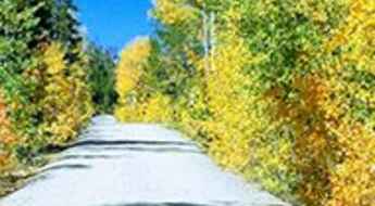
A scenic paved road to the summit of Yuba Pass
Yuba Pass is a high mountain pass at an elevation of 2.050m (6,725ft) above the sea level, located in Sierra County, in the U.S. state of California.
Mountain Waters Scenic Byway is a must if you love waterfalls
Mountain Waters Scenic Byway is a very scenic winding mountain road located in Western North Carolina, running through the forest and by rivers and lakes, two river gorges, hardwood forests and countryside vistas.
Ultimate 4wd destination: Napoleon Pass
Napoleon Pass is a high mountain pass at an elevation of 3.668m (12,034ft) above the sea level located in the Gunnison County, in Colorado, USA. Multiple creek crossings. It’s one of the highest mountain roads in Colorado.
A scenic unpaved road to Crooked Creek Pass
Crooked Creek Pass is a high mountain pass at an elevation of 3.051m (10,010ft) above the sea level located in Eagle County, in the U.S. state of Colorado.
Rocky Gap Road
Rocky Gap Road is an extremely rugged backcountry road located in Clark County, in the U.S. state of Nevada. The road is rocky and rough in most areas where it's been washed out. The middle portion of the route might present some problems.
Hardscrabble Pass, an absolute must for road lovers
Hardscrabble Pass is a high mountain pass at an elevation of 2.773m (9,097ft) above the sea level, located in Custer County, in the U.S. state of Colorado.
A paved road to Raynolds Pass, on the Montana-Idaho border
Raynolds Pass is a high mountain pass at an elevation of 2.086m (6,844ft) above the sea level, located on the Montana-Idaho border, in USA.
Panoramic Point Road is a sensational drive in Kings Canyon NP
Panoramic Point Road is a delightful drive located in Fresno County, in the U.S. state of California.
A sensational drive to Lake Sabrina
Lake Sabrina is a high mountain lake at an elevation of 2.796m (9,173ft) above the sea level, located in Inyo County, in the U.S. state of California. It’s one of the highest mountain roads of California.
