Driving the scenic road to Batopilas, the Magic Town of Mexico
Batopilas de Manuel Gómez Morín is a small town at an elevation of 501m (1,643ft) above sea level located in the Mexican state of Chihuahua.
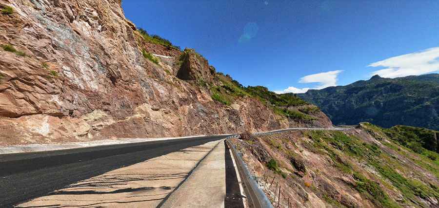
Is the road to Batopilas paved?
Tucked away in the Western Sierra Madre range, the road to the town is totally paved but pretty curvy and challenging, running through one of the deepest canyons in the world. The road is not recommended if you’re prone to car sickness: it has more than one hundred of curves and 34 hairpin turns.
How long is the road to Batopilas?
The road to the town is 62.5 km (38.8 miles) long starting at Huasarorare. The drive is an unforgettable experience. The road is very steep, hitting a 15% of maximum gradient through some of the ramps.
How long does it take to drive to Batopilas in Mexico?
To drive the road without stopping will take most people between 2 and 3 hours. Batopilas is a small town nestled at the bottom of a cliff and has tales to share. It’s home to beautiful plazas and bridges built of rope and river rocks, but the main surprise is a beautiful aqueduct built in the 19th century.
Pic: Eblem Torres