How to drive the paved La Lagunita Road
La Lagunita Road is a steep mountain ascent climbing from 1,900 meters to 2,770 meters (9,087 ft) above sea level in the state of Hidalgo, Mexico. Located in the municipality of Ixmiquilpan, the paved 6-kilometer route ascends the arid mountain range above the Mezquital Valley.
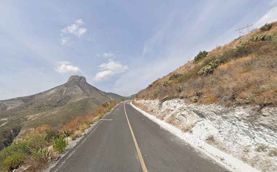
| Road facts: La Lagunita Road | |
|---|---|
| Location | Ixmiquilpan, Hidalgo (Mexico) |
| Starting Elevation | 1,900 m (6,233 ft) at Orizabita |
| Summit Elevation | 2,770 m (9,087 ft) at La Lagunita |
| Length | 6.0 km (3.72 miles) |
| Elevation Gain | 870 vertical meters (2,854 ft) |
| Average Gradient | 14.5% |
| Coordinates | 20°37'57.5"N 99°13'30.4"W |
| Surface | Paved asphalt with yellow centerline marking |
Where is La Lagunita Road located?
The road starts in the village of Orizabita and ascends north into the dry mountain slopes of Ixmiquilpan municipality, in the central Mexican state of Hidalgo. The track terminates at the high settlement of La Lagunita.
Is the road to La Lagunita paved?
Yes. The entire 6-kilometer climb is fully paved with asphalt and includes a yellow painted centerline. The roadbed features 15 tight hairpin switchbacks carved directly into the white limestone rock flanks of the mountain, with unshielded outer shoulders and no guardrails along the upper ramps.
How steep is the road to La Lagunita?
The climb is exceptionally steep, gaining 870 vertical meters over a distance of just 6 kilometers. This produces an extreme average gradient of 14.5%, with short inner-turn sections exceeding this angle along the 15 tight switchbacks.
Road suggested by: Eblem Torres