How to drive the paved El Chico Road
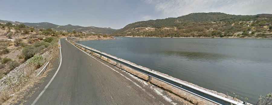
El Chico Road (Carretera a Mineral del Chico) is a paved mountain road reaching an elevation of over 2,700 meters above sea level in the state of Hidalgo, Mexico. Located directly north of the capital city of Pachuca, the route connects the urban valley with the mountain town of Mineral del Chico and El Chico National Park.
| Road facts: El Chico Road | |
|---|---|
| Location | Pachuca to Mineral del Chico, Hidalgo (Mexico) |
| Length | ~20 km (12.4 miles) |
| Surface | Fully paved asphalt |
| Terrain | Dense pine forest / Mountain switchbacks |
| Key Hazards | Sudden dense fog, wet asphalt, heavy weekend tourist traffic |
Where is El Chico Road located?
The road ascends north from the city of Pachuca into the Pachuca Mountain Range in the state of Hidalgo. It cuts through the dense forest of El Chico National Park to reach the historic mining settlement of Mineral del Chico.
Is the road to Mineral del Chico paved?
Yes. The entire route from Pachuca up to Mineral del Chico is fully paved with asphalt. The road features steep climbs, sharp curves, and narrow lanes through the pine forests and rocky cliffs of the national park.
What hazards exist on El Chico Road?
The primary hazard is sudden and severe weather shifts. The high-altitude forest section is prone to dense bank fog that drops visibility to zero in minutes, slick asphalt from constant rain, and occasional winter snowfall. Heavy tourist traffic and buses on narrow mountain curves create additional bottlenecks on weekends.
Road suggested by: Eblem Torres