Driving the scenic but foggy Mexico 105 through Peñas de Tlanchinol
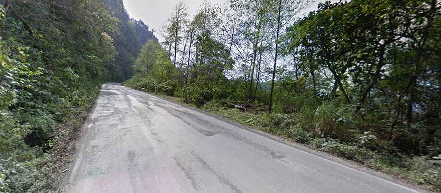
The section of Mexico 105 known as Peñas de Tlanchinol is a stunning yet treacherous mountain drive in the heart of Hidalgo. Located in central-eastern Mexico, this road serves as a dramatic transition between the high Sierra and the tropical Huasteca. It is a world of towering rocky hills and dense, lush forests where the pavement is often wet and the clouds sit permanently on the tarmac. Driving here means navigating a winding ribbon of asphalt that requires constant focus on the road's edge and the unpredictable mountain weather.
| Road facts: Mexico 105 (Peñas de Tlanchinol) | |
|---|---|
| Location | Hidalgo, Mexico |
| Road Name | Mexico 105 (Pachuca - Huejutla) |
| Length | 20 km (12.4 miles) |
| Surface | Paved |
Is the road through Peñas de Tlanchinol dangerous?
The 20-kilometer stretch between Tlanchinol and Ixtlahuaco is notorious for its challenging conditions. While the road is fully paved, it is very narrow and lacks a proper shoulder in most sections. As seen on the route, the steep rocky walls (peñas) lean directly over the asphalt, leaving no room for error. The most significant hazard is the persistent fog, which can appear in seconds regardless of the season. In the rainy months, the humidity creates a slick film on the road, while in winter, thin layers of ice can form on the higher, shaded corners. You must stay alert for rockfalls, as small stones frequently drop from the cliffs onto the driving lane.
What is the scenery like on Mexico 105 in Hidalgo?
The landscape of Peñas de Tlanchinol is unique in the state of Hidalgo, offering a sharp contrast between rugged mountain peaks and tropical lushness. As you drive north toward the Huasteca, the forest becomes denser, with ferns and moss covering the vertical rock faces that border the road. This section is popular for its spectacular views, but the tight curves and the presence of heavy trucks and local vans make it difficult to pull over safely. The road feels like a natural tunnel through the Sierra, where the humidity is high and the air is thick with the scent of the cloud forest.
How long is the drive through Peñas de Tlanchinol?
The drive spans 20 kilometers and connects the high-altitude town of Tlanchinol with the lower valley of Ixtlahuaco. Although the distance is short, it often takes much longer than expected due to the constant hairpin turns and the heavy transport traffic that uses this main artery. Before heading out, make sure your wipers and fog lights are in perfect working order. On the long descents, rely on engine braking to control your speed; the humidity on the asphalt makes the surface surprisingly slippery, and sudden braking in the middle of a foggy curve can easily lead to a skid. Always carry extra water and ensure your brakes are in top shape before tackling these steep, tropical slopes.
Road suggested by: Eblem Torres