Bajada a Xichu is a drive with spectacular views of Sierra Madre Oriental
Bajada a Xichú is a winding mountain road descending through the Sierra Madre Oriental canyons to reach the town of Xichú in northeastern Guanajuato, Mexico.
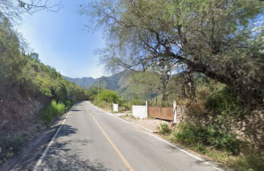
| Road facts: Bajada a Xichú | |
|---|---|
| Location | Sierra Gorda, Northeastern Guanajuato, Mexico |
| Surface | Asphalt (formerly a rough dirt road) |
| Key Features | Steep canyon descent, switchbacks, hand-carved tunnel on old alignment |
| Hazard Level | Moderate (Steep grades, sharp bends & canyon drops) |
Where is Bajada a Xichú located?
Bajada a Xichú is the mountain access road leading into the town of Xichú, located in the northeastern Sierra Madre Oriental range of the state of Guanajuato, Mexico. Further east beyond Xichú, mountain routes continue through the Santa María river canyon toward Atarjea and Highway 69 near Ayutla, Querétaro.
Is Bajada a Xichú still an unpaved dirt road?
No. While Bajada a Xichú used to be infamous for its dangerous, narrow dirt track, the main road into Xichú has been fully paved with standard asphalt, making it accessible for regular passenger cars. Drivers looking for rougher surfaces in the area will still find traditional stone-and-concrete roads (empedrado ahogado en concreto) on nearby canyon routes around Las Adjuntas.
What are the main hazards of driving Bajada a Xichú?
Even with modern asphalt, the descent into Xichú demands careful driving due to steep gradients, tight blind curves, and sheer canyon drops along the edge of the road. Sections of the old alignment also feature a narrow, hand-carved rock tunnel and unstable cliff walls prone to rockfalls during heavy rain.
Road suggested by: Eblem Torres