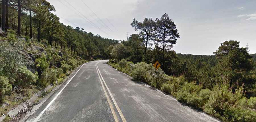
A high mountain road from Xalatlaco to El Ajusco
Straddling Mexico State and Mexico City, the road from Xalatlaco to El Ajusco is one of the most scenic drives in Mexico.
How long is the road from Xalatlaco to El Ajusco?
Located within the Parque Nacional Cumbres del Ajusco, the road is fully paved. It’s 34.8 km (21.62 miles) long, running west-east from Xalatlaco (in Mexico State) towards San Miguel Ajusco (Mexico City).
Is the road from Xalatlaco to El Ajusco open in winter?
The road tops out at 3,622 m (11,883 ft) above sea level. It’s one of the highest roads in the country. This road is usually closed in winter to prevent accidents caused by curious visitors seeking to see snow.
Why is the road from Xalatlaco to El Ajusco dangerous?
The road is busy on weekends and holidays as it’s a popular winter destination due to its frequent snowfalls near Mexico City. It can be dangerous due to frequent car crashes caused by snow or ice, as well as high traffic from drivers who are not accustomed to winter conditions.
Road suggested by: Eblem Torres