Driving Mexico’s Cartel Highway: The Road to Guadalupe y Calvo
The road to Guadalupe y Calvo (Mexico 24) is a challenging mountain drive that runs from Parral, Chihuahua, to the town of Guadalupe y Calvo. Beyond the town, the road continues toward a remote zone under construction, eventually descending into Sinaloa state at Badiraguato, known as the hometown of El Chapo.
Is the area dangerous?
This region has a reputation for being unsafe, as it is associated with drug cultivation and frequent armed conflicts between cartels and the Mexican army. Nearby lies the Golden Triangle (Triángulo Dorado), an area spanning the states of Chihuahua, Durango, and Sinaloa, historically linked to cartel activity.
What is the scenery like?
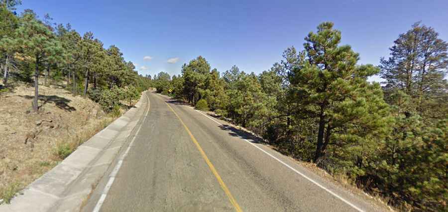
Despite its reputation, the route offers remarkable landscapes. Travelers will encounter varied biomes, ponderosa pine forests, dramatic canyons, unique rock formations, and even ancient cliff dwellings. The road winds through the Sierra Madre mountains, providing both natural beauty and challenging driving conditions.
What are the main driving hazards?
In addition to security risks, there are other dangers:
- Snowfalls in winter, with no snowplows available.
- Poor maintenance and rough segments with potholes.
- Long, winding stretches that may cause driver fatigue.
Road suggested by: Eblem Torres