How to drive the Hidalgo State Route 53 to San Clemente?
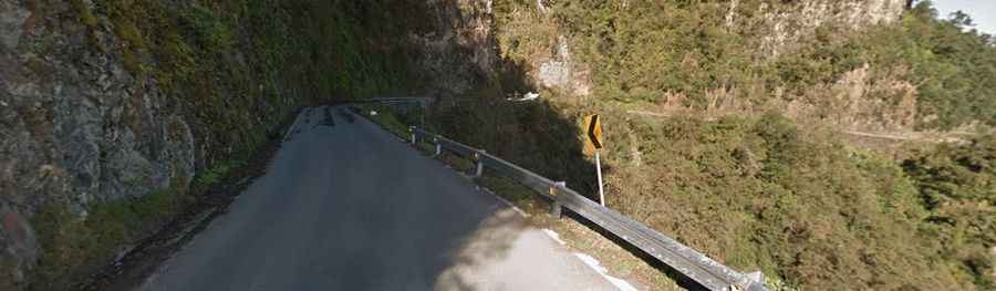
Hidalgo State Route 53, also known as the Road to San Clemente, is a high mountain drive through the Sierra Madre Oriental in the state of Hidalgo, Mexico. It is renowned for its extreme elevation changes and technical driving conditions.
Where is Hidalgo State Route 53?
The road is located in the southeastern part of Hidalgo, crossing the rugged Sierra Otomí-Tepehua. It serves as a vital but challenging link between the high plateau of La Victoria and the deep canyons of the Río Pantepec.
🇲🇽 Hidalgo State Route 53 Data
| Max Elevation | 2,480m (8,136ft) |
| Elevation Drop | 1,870 m |
| Region | Sierra Otomí-Tepehua |
| Canyon | Río Pantepec |
Is the road to San Clemente dangerous?
The route is considered particularly demanding due to its steep grade inclinations and numerous unbanked hairpin curves. The road conditions can vary significantly, with sections prone to landslides during the rainy season. The drive transitions rapidly from high-altitude pine forests at over 2,200m to lush tropical vegetation as the elevation drops towards the canyon floor.
How long is the Hidalgo State Route 53?
The most dramatic section of the route spans from La Victoria to San Clemente:
- Starting Point: La Victoria, at an elevation of 2,230m (7,316ft).
- Maximum Elevation: The road peaks at 2,480m (8,136ft) shortly after leaving La Victoria.
- The Descent: From the peak, the road descends abruptly into the town of Tenango de Doria.
- End Point: The route continues its descent until it reaches San Clemente at an elevation of only 610m (2,001ft).
Navigation Tip: Passing through Tenango de Doria
Drivers should be aware that upon entering Tenango de Doria, the original highway route can be confusing. To continue towards San Clemente, you must navigate through the town's internal streets to reconnect with the main descent towards the Rio Pantepec canyon.
Road suggested by: Eblem Torres