How steep is the mountain road to Tapalpa in Jalisco?
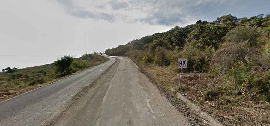
The mountain road to Tapalpa, officially designated as Jalisco State Route 436 (JAL 436), is a steep paved route located in the state of Jalisco, in Mexico. Starting from the valley junction at Federal Highway 54, the road climbs the Sierra de Tapalpa to reach the mountain town at an elevation of 2,060 meters (6,758 ft) above sea level.
| Road facts: JAL 436 to Tapalpa | |
|---|---|
| Location | Jalisco (Mexico) |
| Max Elevation | 2,250 m (7,381 ft) |
| Length | 22 km (13.6 miles) |
| Elevation Gain | 900 m |
| Surface | Paved (Asphalt) |
What is the elevation gain on the JAL 436 road to Tapalpa?
The climb begins at an altitude of 1,350 meters above sea level at the intersection with Federal Highway 54. Over a distance of 22 kilometers (13.6 miles), the paved JAL 436 highway gains 900 vertical meters, hitting a maximum elevation of 2,250 meters before a brief descent into the town valley.
What are the driving hazards on the JAL 436 mountain road?
The asphalted route features continuous tight corners and blind switchbacks. The lanes are narrow, forcing passenger cars to share the tarmac with slow-moving agricultural cargo trucks and regional passenger buses.
Is the JAL 436 highway dangerous during the rainy season?
During the rainy months the road faces intense tropical storms that regularly overflow the lateral drainage ditches and send water sheets across the asphalt. The steep road cuts are highly prone to rockfalls and mud slumps that dump debris onto the driving lanes. Thick high-altitude fog banks frequently settle over the summit.
Road suggested by: Eblem Torres