Driving the steep and winding road to Chipinque in Monterrey
The Road to Chipinque is a high-altitude mountain drive located in the northeastern Mexican state of Nuevo León. Starting from the upscale area of San Pedro Garza García, the road climbs aggressively into the Sierra Madre Oriental. This is not a casual city drive; it is a technical ascent that leads into a private ecological park where the air cools rapidly and the forest closes in on the asphalt. While it offers a break from the heat of Monterrey, the constant incline and the sharp, narrow turns demand total focus and a vehicle with a reliable cooling system to handle the 700-meter vertical gain.
| Road facts: Chipinque Road | |
|---|---|
| Location | San Pedro Garza García, Monterrey, Mexico |
| Elevation Gain | 700 meters (600m to 1,300m masl) |
| Length | 10 km (6.2 miles) |
| Access | Private Park (Restricted access) |
How difficult is the drive to Chipinque?
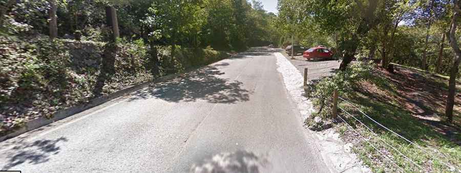
The 10-kilometer climb to the top area of the park is a test of gear management. As seen on the route, the road is fully asphalted but extremely winding. Starting at 600 meters in the city and reaching 1,300 meters at the plateau, the elevation gain is concentrated in a short distance. This means your engine will be working hard in low gears, and if you are driving a loaded vehicle or a small furgoneta, you need to keep a close eye on the temperature gauge. The road is often narrow, and because it is a popular spot for outdoor activities, you must share the limited space with cyclists and hikers, making every blind corner a potential hazard.
What are the main hazards on the road near Monterrey?
The primary hazard at Chipinque is the rapid change in road conditions. The proximity to the mountains means that thick fog can roll in without warning, dropping visibility to near zero on the steep curves. When the asphalt is wet, it becomes notoriously slippery, increasing the risk of sliding on the hairpins. Furthermore, the road features several tight bends where the mountain wall blocks your line of sight. Because it is a private park with limited access, the traffic is regulated, but the steepness remains a physical reality that can cook your brakes if you rely too heavily on the pedal during the descent back toward San Pedro Garza García.
What mechanical prep is needed for the Chipinque climb?
Before you leave the main city area, ensure your cooling system is in perfect working order. The 700-meter climb is a short but intense torture test for your radiator, especially in the high temperatures common in Monterrey. On the way down, do not ride your brakes. Use engine braking to maintain a controlled speed through the winding forest sections; otherwise, your pads will smoke before you reach the park entrance. Check your tire pressures, as the constant lateral load on the sharp corners requires maximum grip. Carry extra water and be prepared for a 10-degree temperature drop as you climb from the urban heat into the high pine-oak forests of the Sierra Madre.
Road suggested by: Eblem Torres