A challenging 4x4 road to Cerro Potosí, one of the Mexico's highest peaks
Cerro el Potosí is a high mountain peak at an elevation of 3.721m (12,208ft) above sea level, located in Nuevo León state, in Mexico. It’s one of the highest roads of the country.
Can you drive to the summit of Cerro Potosí?
Tucked away in the Sierra Madre Oriental Range, the road to the summit is entirely unpaved. It's a route strictly for 4x4 vehicles due to its rugged condition.
When was the road to Cerro Potosí built?
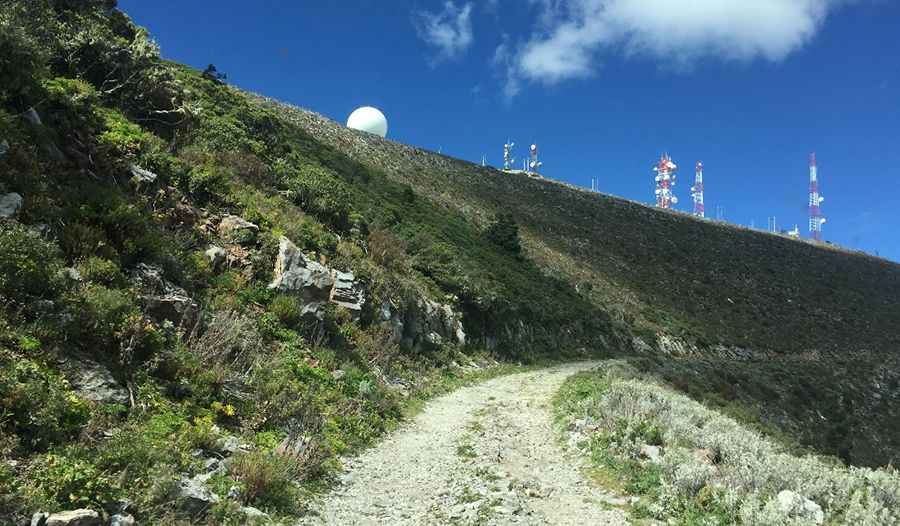
The road was built in the 1960s to facilitate the development of a microwave relay station at the summit,
How long is the road to Cerro Potosí?
Located in the northeastern region of Mexico, the road to Cerro Potosí starts from Dieciocho de Marzo. It’s 27.6 km (17.14 miles) long. Over this distance, the elevation gain is 1,724m, and the average gradient is 6.24%. It’s very important to check the weather forecast, as the region is often susceptible to unpredictable conditions.
Road suggested by: Eblem Torres.
Pic: Etsson Perez