How to drive the defiant road to Puerto de Maravillas in the Sierra Madre Oriental?
Puerto de Maravillas is a high mountain pass at an elevation of 2.727m (8,946ft) above sea level, located in the Mexican state of Coahuila.
Where is Puerto de Maravillas?
The pass is located in the Sierra Madre Oriental range, in the northeastern part of the country. North of the pass, a challenging unpaved mountain road leads to Cerro de la Viga, a high mountain peak at an elevation of 3.556m (11,666ft) above sea level.
Is the road through Puerto de Maravillas paved?
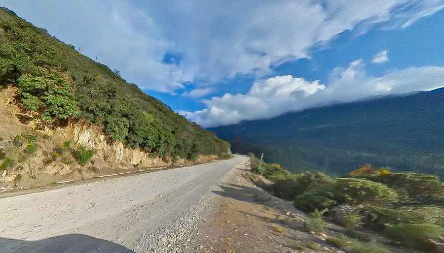
The road through the pass has both paved and unpaved sections. It is paved at the beginning and the end, but the middle stretch remains unpaved. It comprises narrow parts and steep sections.
How long is the road to Puerto de Maravillas?
The road to the pass is 43km (27 miles) long, running west-east from Nuevo Leon 20 Road, near Campestre los Andes to Mesa de las Tablas. The drive provides spectacular views of the Sierra Madre Oriental.
Pic: Jorge Eduardo George Gaona