How to drive the unpaved road to Baldy Rocks in BC
Baldy Rocks is a high mountain pass at an elevation of 1.975m (6,479ft) above sea level, located in British Columbia, in Canada.
Where is Baldy Rocks?
The pass is located in the western part of the country, within the Stagleap Provincial Park. Near the summit there’s a mountain refuge called Ripple Ridge Cabin.
Is the road to Baldy Rocks unpaved?
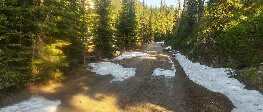
The road is totally unpaved and rocky in parts. It’s called Monk Creek Forest Service Road. A 4x4 vehicle is required.
How long is the road to Baldy Rocks?
Starting from Kootenay Pass, the road to the summit is 2.5 km long. Over this distance, the elevation gain is 195 m and the average gradient is 7.80%.
Is the road to Baldy Rocks open year-round?
Set high in the Selkirk Mountains of the Rocky Mountains, the road is usually impassable in winters due to the heavy snowfalls in the area, and usually open from June through September.
Pic: Louis Thompson