Travelling through the scenic Hurley River Forest Service Road in BC
Hurley River Forest Service Road is a mountainous drive in the southern part of British Columbia, Canada. It’s quite steep in some spots and cliff-hanging in others. Summer access only. A high-clearance vehicle is required.
Is the Hurley River Forest Service Road in BC Unpaved?
The road leads north through the Pemberton Valley. It’s gravel and summer access only. It’s rough and has unexpected potholes as well as some narrow spots. Take your time and drive with caution.
Is the Hurley River Forest Service Road in BC Open?
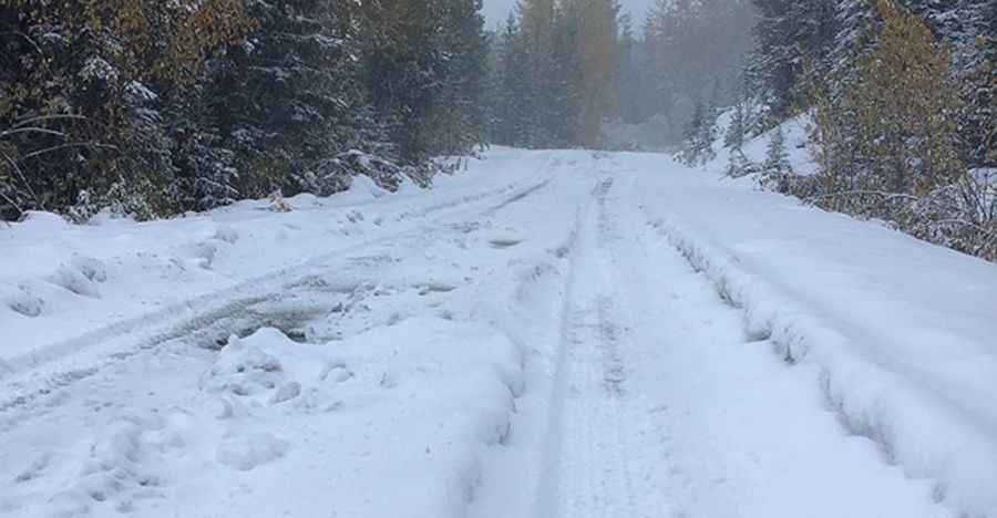
The road tops out at 1,395 meters (4,576 feet) above sea level, by Railroad Pass. In the winter, the road is not cleared of snow and sees only snowmobile traffic until it’s plowed for vehicle traffic again, typically in late May. So it's generally only open from June to October. Conditions can change fast at any time with the fluctuating temperatures and weather. Be prepared to experience all kinds of weather.
How Long Is the Hurley River Forest Service Road in BC?
The road is 42.1 km (26.1 miles) long, running from Bralorne to Lillooet Forest Service Road. It’s a wild ride and the scenery is breathtaking! A survival/safety kit is a good thing to carry in your vehicle.
Can I Drive My Vehicle on the Hurley River Forest Service Road in BC?
The road is gravel with ruts and rocks and is best traversed with a high-clearance vehicle (normal 2WD cars can handle the trip if the driver is comfortable with those road conditions). You might want to consider this if you have passengers that don't like heights. The ‘Hurley,’ as it’s most commonly referred to, will take some skill, some patience, and some tolerance for vertigo. It's very intense because there are no guardrails at the edge and there is little room for error if oncoming traffic swerves in your direction.
Pic&more info: http://isurvivedthehurley.com/