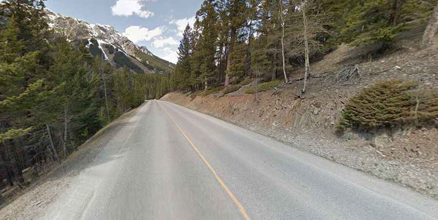
A scenic paved road to Mount Norquay in Canada
Mount Norquay is a high mountain peak at an elevation of 1,720m (5,643ft) above sea level, located in Canada’s Alberta province.

Why is it called Mount Norquay?
The mountain was named in 1904 after John Norquay, premier of Manitoba from 1878 to 1887.
Is the road to Mount Norquay paved?
Located in Banff National Park, the road to the summit is fully paved. It’s called Mt Norquay Scenic Drive. It’s a winding mountain road, with steep sections and 6 sharp hairpin turns (which sometimes have loose gravel on them), leading to Norquay Ski resort.
How long is the road to Mount Norquay?
The road to the summit is pretty steep. Starting from the Trans-Canada Highway, the ascent is 5.8 km (3.60 miles) long. Over this distance, the elevation gain is 318 meters. The average gradient is 5.48%.
A chairlift service road, totally unpaved and very steep, starting north of the resort, climbs up to 1,988m (6,522ft) above sea level.
Is the road to Mount Norquay worth it?
Tucked away in the southern part of a country, within a valley surrounded by mountains, the journey offers excellent views. It's definitely worth it. There is a great view of the town of Banff and its surroundings from the viewpoint near the top of the winding road. If it's foggy, the view will mostly be of fog. Early in the morning or evening, you might see some alpenglow in the sky. Along this drive, you can see mule deer and bighorn sheep. Although there are several good lookouts, the best one, according to Mountain Man, is from the meadow area at the end of the road. Be aware, this is active grizzly country.