How to drive the unpaved road to Bonanza Peak in BC?
Bonanza Peak is a high mountain peak an elevation of 1.804m (5,918ft) above sea level, located in British Columbia, Canada's westernmost province.
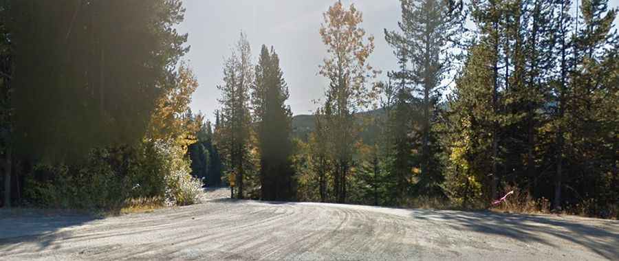
Is the road to Bonanza Peak unpaved?
The peak is located in the southern part of the country, near the US border. The road to the summit is totally unpaved. It features narrow parts and steep sections. A 4x4 vehicle is required.
How long is the road to Bonanza Peak?
Starting from Crowsnest Highway (Highway 3), near Blueberry-Paulson Summit, the road to the summit is 8.9 km long. Over this distance, the elevation gain is 417 m and the average gradient is 4.68%.
Is the road to Bonanza Peak open year-round?
Set high in the Monashee Mountains, the road is usually impassable in winters; sudden snowstorms, blowing snow, and fog often make winter driving hazardous. Winter tires or chains are required on most routes in British Columbia from October 1 to April 30.