Mount McIntyre: The Ultimate Road Trip Guide
Mount McIntyre is a high mountain peak at an elevation of 1,567 m (5,141 ft) above sea level, located in Canada’s Yukon territory.
Where is Mount McIntyre?
The peak (usually known as "Mount Mac" by locals) is located south of Whitehorse, in the northwestern part of the country.
What’s at the summit of Mount McIntyre?
The summit hosts a VHF Omni Directional Radio Range (VOR) used for aircraft navigation.
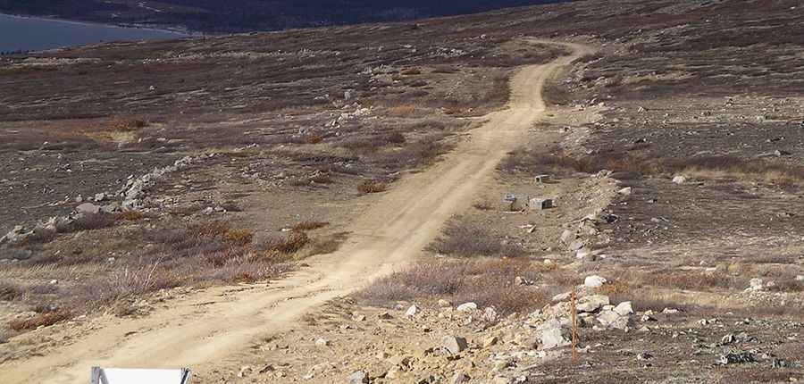
Is the road to Mount McIntyre unpaved?
The road to the summit is totally unpaved and pretty rough. It's called Mount McIntyre Road. It requires a 4x4 vehicle with good clearance to reach the summit. The road is usually impassable in winter.
How long is the road to Mount McIntyre?
The road to the summit is steep, hitting a 16% maximum gradient through some of the ramps. Starting at Klondike Highway, the ascent is 14.7 km (9.13 miles) long. Over this distance, the elevation gain is 827 meters. The average gradient is 5.62%. The drive offers great views.
Pic: Timothy K