Lytton-Lillooet Highway is a scenic drive along the Fraser river
Lytton-Lillooet Highway is a very scenic winding road located in British Columbia, Canada, running along the east bank of the Fraser River.
Can you drive through Lytton to Lillooet?
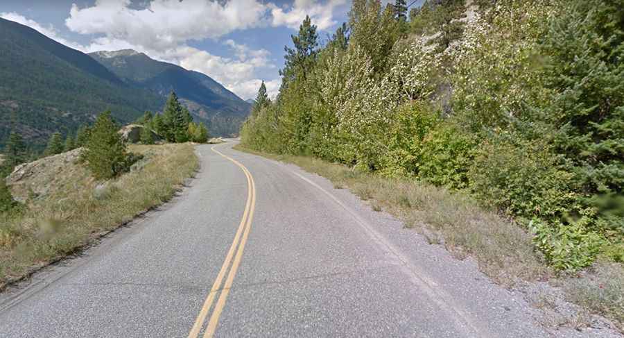
The road follows the east bank of the Fraser River. It’s a single lane road but paved all the way. The road, also known as British Columbia Highway 12, has many avalanche prone cliffs on one side, and drop offs into ‘abysses’ on the other. There are some bumps or pot holes but the scenery well makes up for it. The road tops out at 474m (1,555ft) above sea level.
How long is the road from Lytton to Lillooet?
The road is 66.2 km (39 miles) long, running south-north from Lytton, known for being “Canada’s Hot Spot” at the confluence of the Thompson River and Fraser River on the east side of the Fraser to Lillooet, formerly Cayoosh Flat, a community on the Fraser River. Lytton on June 29, 2021 became the hottest place in Canada when it recorded 49.6°C (121.3°F).
How long does it take to drive through Lytton to Lillooet?
To drive the road without stopping will take most people between 1 and 1.5 hours. The road was built in 1953 and features sweeping views, running through rugged landscape with stunning views of mountains.