The unpaved road to Telegraph Creek is a Canadian classic
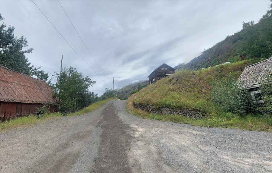
Telegraph Creek is a small mostly native settlement on the banks of the Stikine River in the Canadian province of British Columbia. The road to the town is beautiful but rough.
When was the road to Telegraph Creek built?
The road was constructed during the Klondike Gold Rush of the 1860s.
Why is it called Telegraph Creek?
Telegraph Creek, home to the Tahltan First Nation, was named for an overland telegraph line to connect southern Canada to the Yukon.
How long is the road to Telegraph Creek?
The road to the town is known as Telegraph Creek Road (Highway 51). It’s 110km (68 miles) long, running east-west from Dease Lake, on the Stewart-Cassiar Highway, to Telegraph Creek. Travelling alongside and parallel to the Stikine River, the road is prone to washouts and rock slides.
Is the road to Telegraph Creek unpaved?
Tucked away in the northern part of British Columbia, the road is not easy. It’s a narrow steep mountain road, hitting a 20% maximum gradient through some of the ramps. It’s mostly unpaved (at Km 4.7 the pavement ends, then you cross over a cattle guard and head into the wilderness). It is comprised of compacted dirt with light gravel, which means it will get slick when wet but nothing moderately experienced riders can’t handle.
Is the road to Telegraph Creek challenging?
The road tops out at 849m (2,785ft) above sea level and will test your brakes. There are quite a few switchbacks that have created a few headaches over the years for the truck drivers transporting goods in and out of the area. It’s not recommended for large RVs and trailers but suitable for most vehicles. It’s a single track for much of its length, with a few tiny pull-outs for passing.
Is Telegraph Creek worth it?
To drive the road without stopping will take most people between 2 and 3 hours. The journey offers stunning views of the Stikine River. With sharp cliffs down to the water, there are countless places to get that perfect postcard photo. The town has several old buildings dating back to the gold years, some have been abandoned and some have been restored.
Pic: ken welte