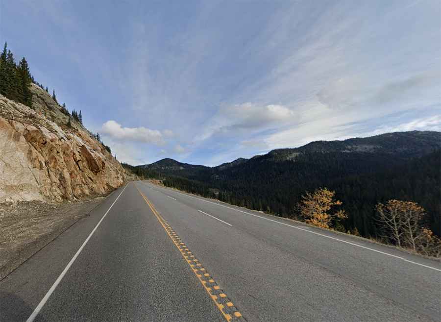
Kootenay Pass is an awe-inspiring route in Canada
Kootenay Pass is a high mountain pass, situated at an elevation of 1,782m (5,846ft) above sea level, located in the province of British Columbia, Canada.
How long is Kootenay Pass?
The road to the summit, also known as Salmo-Creston, is entirely paved and designated as Highway 3 (Crowsnest Highway). Spanning 64km (40 miles), it stretches from Nelson Nelway Highway to Creston in an east-west direction.
Where is Kootenay Pass located?
Nestled high in the Selkirk Mountains within Stagleap Provincial Park, the pass marks the highest point of the road. Although it was once the highest road in the country, it has since been surpassed by Highway 40 over Highwood Pass in Kananaskis Country, Alberta, reaching 2,217m (7,273ft) above sea level.
Is Kootenay Pass open?
As one of the highest highway-served passes in Canada, Kootenay Pass remains open year-round, although it often closes during inclement weather for avalanche control and debris clearance. Notably, the pass is renowned for early and late-season snow, with hundreds of avalanches occurring annually. From October 1 to April 30, winter tires or chains are mandatory on most routes in British Columbia.
How long does it take to drive Kootenay Pass?
Traversing the frozen expanse of the Rocky Mountains in western Canada, the road connects remote towns, typically requiring about 45 minutes to complete without stops. With approximately 1,600 vehicles traversing the road weekly, it offers a picturesque journey through a region characterized by expansive lakes and towering mountains. Upon reaching the summit, visitors are encouraged to explore the stunning Bridal Lake.
Is Kootenay Pass steep?
The road to the summit features steep inclines, with some sections boasting a maximum gradient of 13%. The ascent from Creston spans 40km, with an elevation gain of 1154 meters and an average gradient of 2.9%. Conversely, the ascent from Burnt Flats covers 23.1km, with an elevation gain of 1134 meters and an average gradient of 4.9%. The climb from Burnt Flats is particularly challenging due to its consistent gradient throughout the ascent.